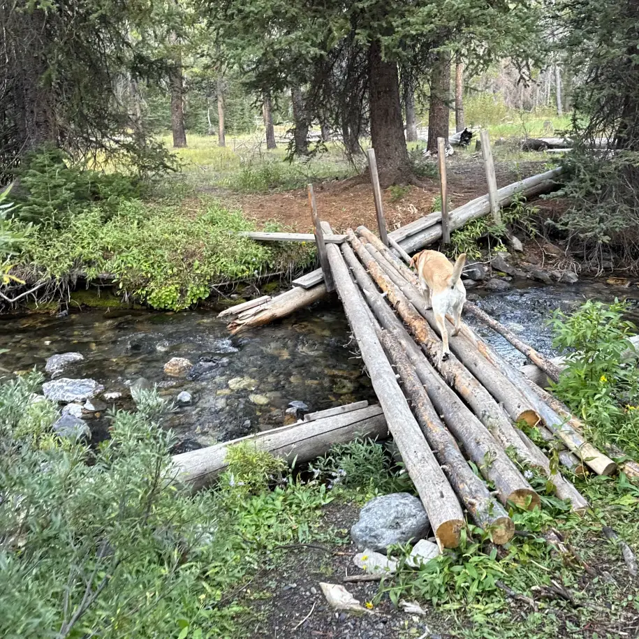
West Fork of Trail Creek
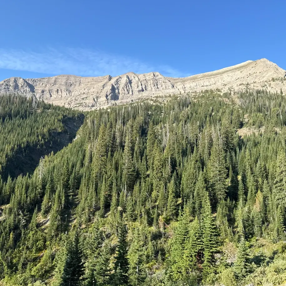
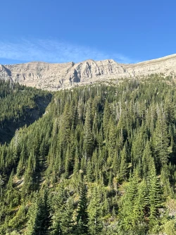
Of our three nearby mountain ranges, the Boulders are the toughest to explore, particularly for hikers seeking flatter routes. This hike is by no means easy as it features a difficult climb over its 2nd mile, but most of the ascent is in the cover of forest shade, making it a solid option for most families. The scenery is typical of the untamed Boulders – wild forest, rocky mountains, and plenty of deadfall towards the end of the route. This is not a well-known hike, so on most days you will have it to yourself.
For families with young children or elderly hikers, the hike can be shortened to a 3-mile out and back, ending in a field overlooking a beautiful valley framed by a few Boulder peaks. While you still catch some of the tough climb on this shorter route, much of the hike is a pleasant stroll through quiet woods.
Finally, this hike is not to be confused with the Trail Creek route that sits just north of the Sun Valley Lodge. The West Fork of Trail Creek is at the top of the pass, so this hike requires a drive up just past the summit of Trail Creek Road.


930 feet total elevation gain
 Hardest Mile: 10.5%
Mid-June through mid-October
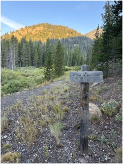
At .2 miles, come to a Y-junction splitting the West Fork trail with the main Trail Creek route. Stay left.
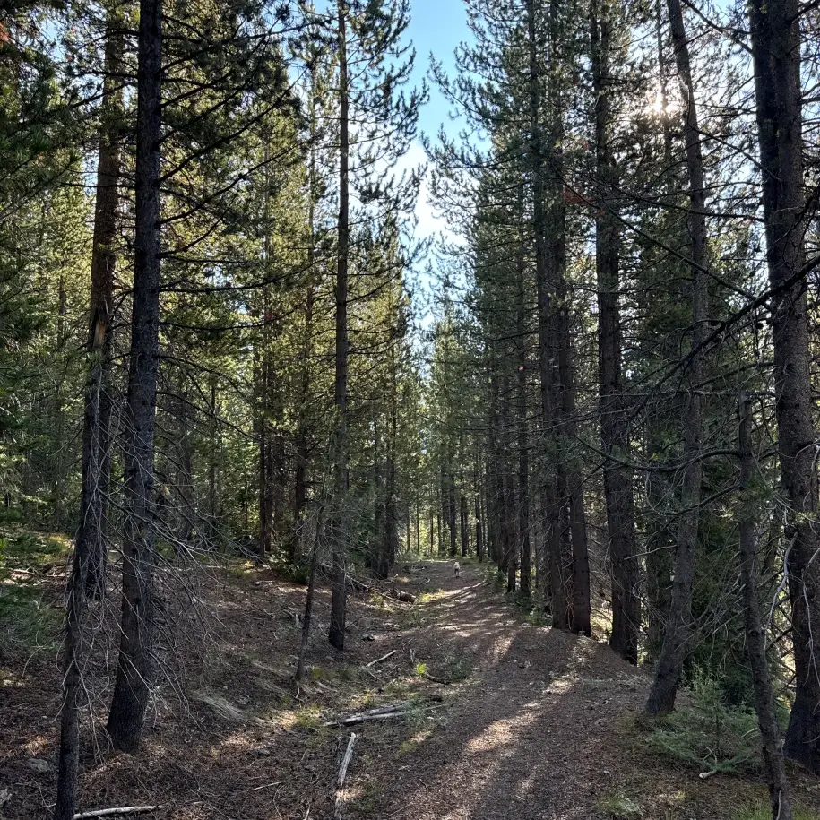
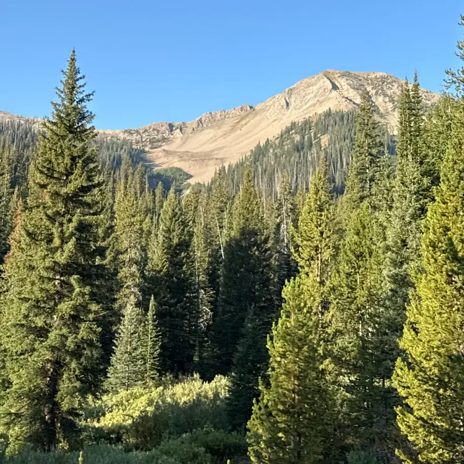
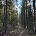
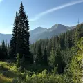
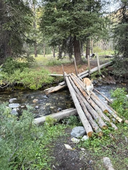
At .4 miles, enter the woods. The trail glides through this pleasant shady section and nestles close to the creek just before the mile mark, though the often runs dry by late summer. The trail begins to rise and beautiful views to the Boulder Mountains emerge.
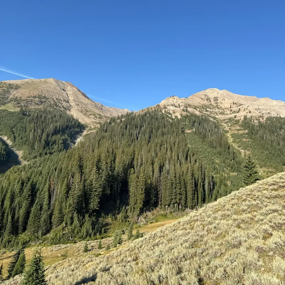
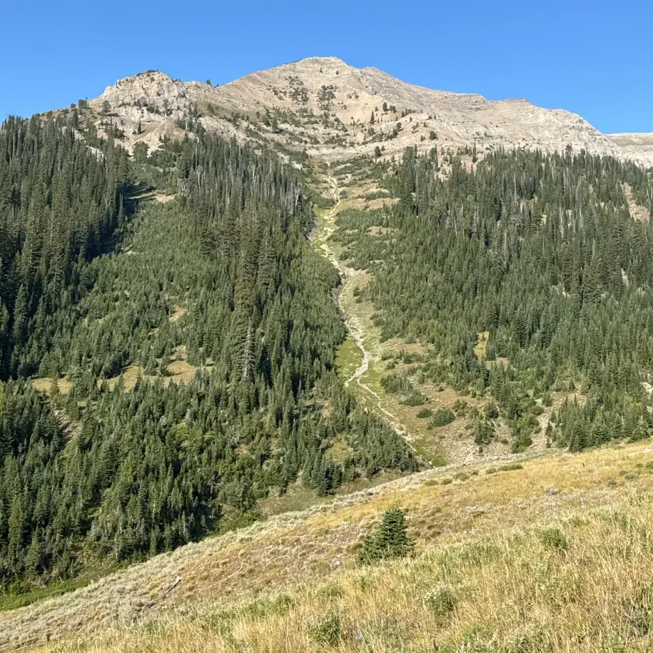
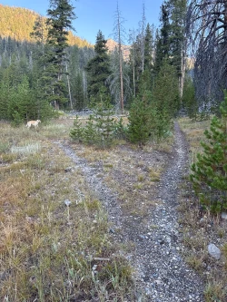
Cross a small stream just before the 1.25-mile mark and begin the toughest part of the hike as the trail jumps up through the woods. At 1.45 miles cross another small stream and enter a large, hillside sagebrush field. This area is filled with wildflowers during mid-summer. There are stunning views of the Boulders to your left and an idyllic river-cut valley lays below. The trail gets faint through the field, but look for cairns to guide your way.
Re-enter the woods at 1.7 miles and continue the climb under the shade of the pine forest. Just before the 1.9-mile mark, it is very easy to lose the trail. If you do, chances are you went too low, so walk up the slope until you find the path.
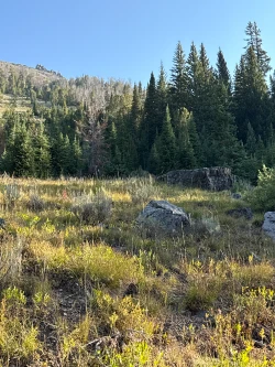
Cross over a wide stream just before the 2-mile mark (it turns into a bog in dry years) and quickly cross over two more small streams. Next, climb over deadfall as you scramble up and down very small gullies and cross another small stream at 2.25 miles. Go through a small boggy area until you come into a boulder-strewn open hillside. This is the destination.
Hike Categories
Distance: 4 to 8
Difficulty: Easy,Moderate
Drive: Hard
Scenery: Nice
Shade: Shady
Solitude: Quiet
Experience: Beyond the Ordinary
Feature: Wildflowers
Locations: Boulders