Rooks Creek
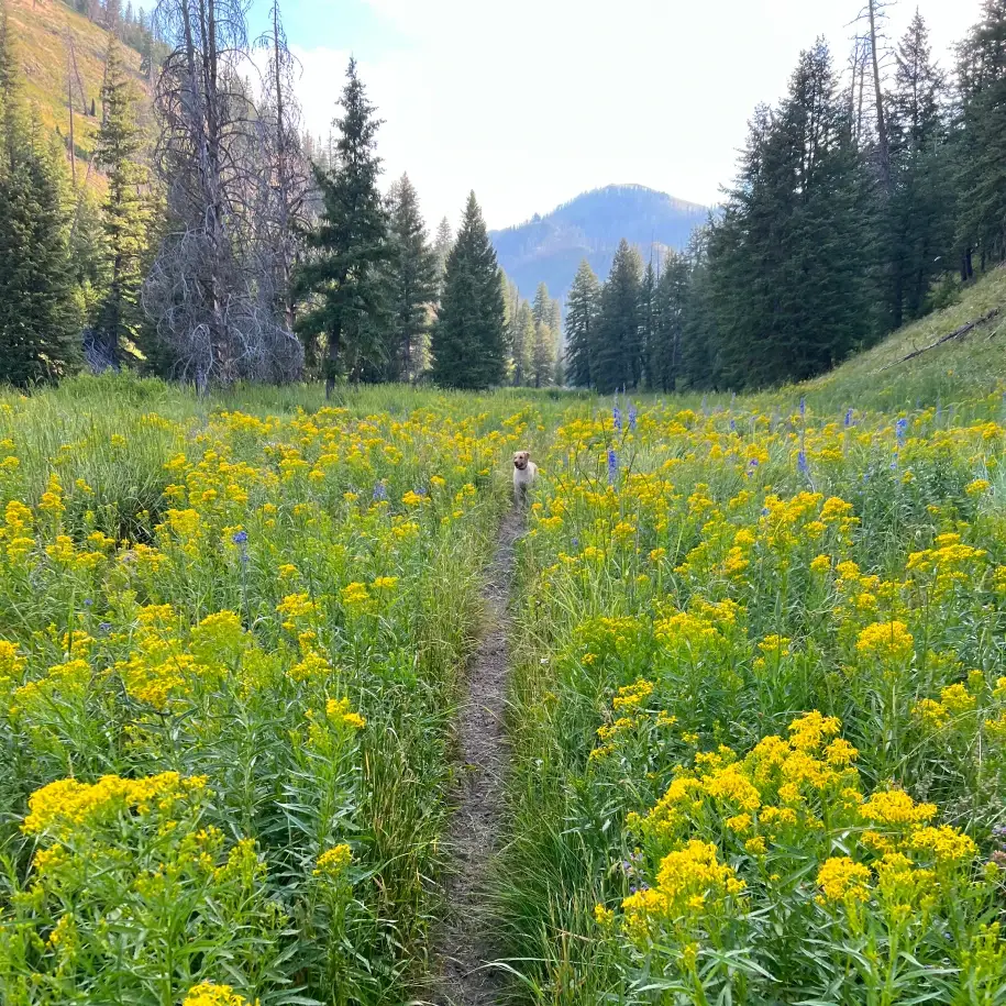
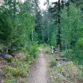
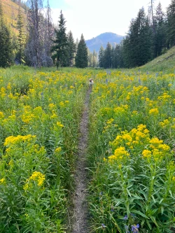
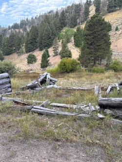
Rooks Creek is a pleasant stroll through a small, secluded gully. The sunny hike crosses a series of meadows which are filled with wildflowers during the mid-summer. One meadow just past the mile mark features a series of old mining structures and is an excellent destination for a shorter hike. Our route ends at a peaceful junction with the creek – a nice spot for a picnic. The trail continues another 2.5 miles from that point and, after a very difficult climb through charred forest, connects with Osberg Ridgeline trail.
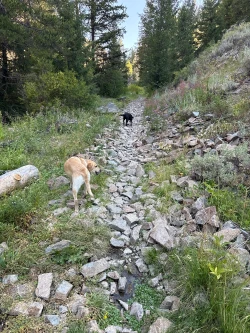
This hike is a solid choice for families with young children or fit elderly hikers. There is a water crossing early in the route as well as a short rocky section of trail that could be a problem for hikers with limited stability, but with the help of poles and fellow hikers, those obstacles can be easily overcome.
As an added bonus, the trailhead is just 1.5 miles past the Frenchman’s Bend Hot Springs, so it is easy to grab a warm soak after the hike.


325 total elevation gain

There are no bathroom facilities at the trailhead.

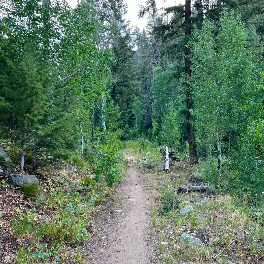
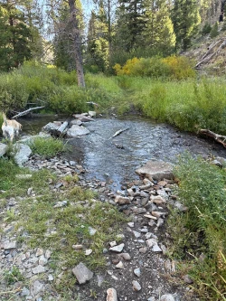
The trail starts under the shade of forest, passing through a small gully with Rooks Creek running to your right. At .15 miles, use rocks to cross the creek. Unless it is an exceptionally wet year, hikers who struggle with footing can walk through the shallow creek, but their shoes will get wet.
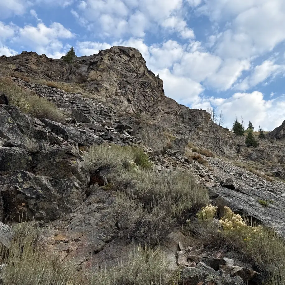
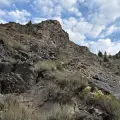
At .6 miles, come to the first of two short rocky sections of trail. Hiking poles will come in handy for hikers who struggle with their footing.
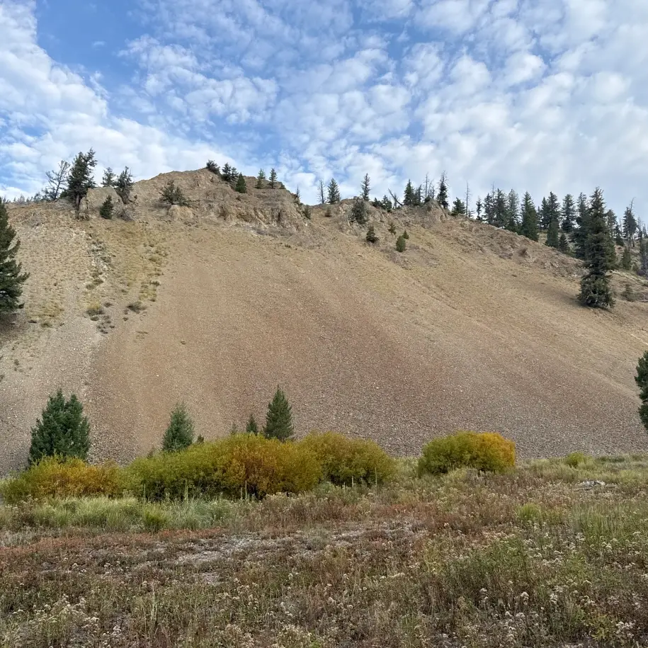
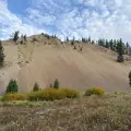
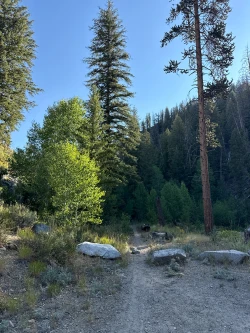
At .7 miles, the gully widens as it comes to the first of a series of meadows. Wildflowers are abundant in July and early August.
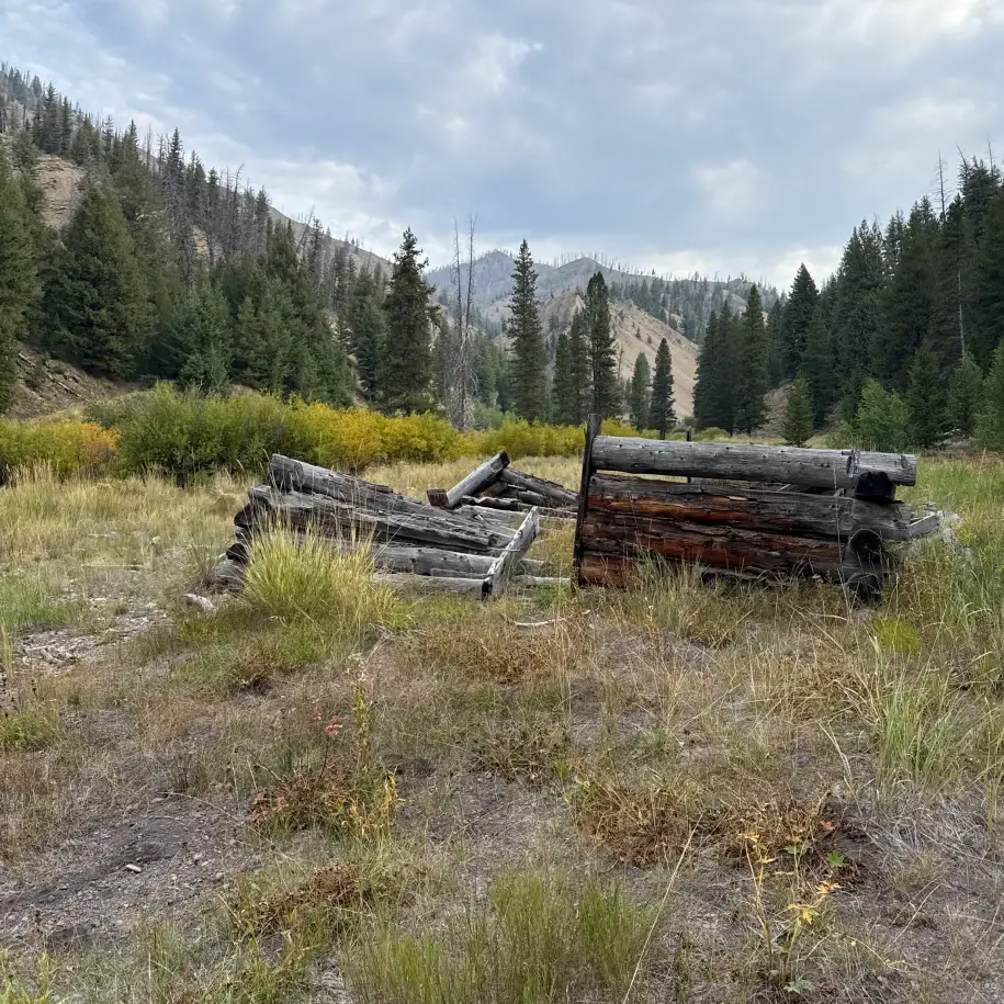
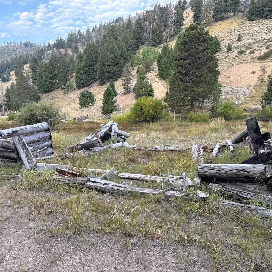
There is an easy water crossing just before the mile mark and the trail briefly enters the woods before entering another large meadow which features a few old mining structures.
The trail rises just a bit at 1.6 miles and then rolls down through a large patch of willows. Just after the 1.8 miles mark, come to a junction with Rooks Creek. This is the destination. There is an area to the right of the creek to sit and relax or enjoy a picnic.

Those who wish to continue on from here will come to another creek crossing in 1/10th of a mile and continue traversing meadows until, at about 2.25 miles, the trail begins to rise into the forest. The ascent becomes far more difficult as the trail continues. At 4.7 miles, it connects with the Osberg Ridgeline trail which eventually takes you to the Baker Creek trailhead.
Hike Categories
Distance: 0 to 4 miles
Difficulty: Easy
Drive: Moderate
Scenery: Nice
Shade: Sunny
Solitude: Quiet
Experience: Beyond the Ordinary
Feature: Wildflowers
Locations: Smokys