Quigley Hill
This short hike packs a cardio punch with a climb of about 750 feet over the first half mile. The rest of the hike is a pleasant descent through a gulch, finishing with a stroll paralleling the Quigley Valley.
Do not undertake this route in the heat of day and make time during the ascent to stop and regulate your heart rate. There is one opportunity to transition from the climb to an easy descent that leads to the bottom of the gulch.
This hike is perfect for those looking to ditch their cabin fever in early spring as the sun melts snow early on Quigley Hill and because its rocky trail does not “mud up”. It is also a great warm-up to get the lungs and legs ready for Carbonate Mountain, Ruud Mountain and other difficult hikes.


750 feet total elevation gain
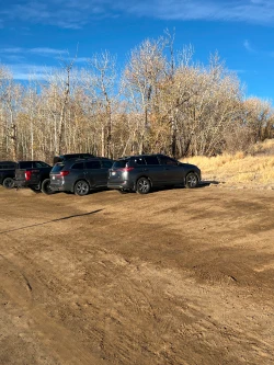
There are no bathroom facilities at the trailhead.
This hike is broken into two sections:
• Section 1: A .55-mile intense climb up Quigley Hill
• Section 2: A mile long descent and a .4-mile stroll along the Quigley Valley
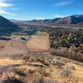
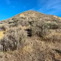
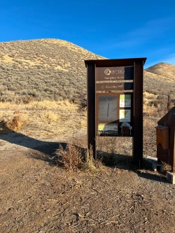
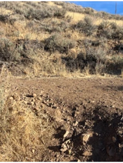
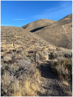
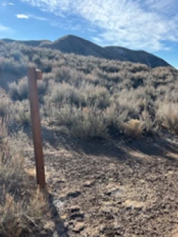
Just past the trailhead sign, turn left and head towards the green metal post fence line. The trail rises quickly, paralleling the fence. As it climbs, the trail braids, but all paths lead to the same destination. There are good over-the-shoulder views towards the Quigley Valley and Wood River High School.
Come to a junction at .2 miles. This is your opportunity to bail on the climb as the trail to the right descends gently along a ridge, re-connecting with this route at the bottom of a gulch close to the valley floor. Stay left to continue climbing.
The trail plays a bit of a trick on you, hiding the peak of the climb behind a knob. At about .4 miles, crest what had looked like the peak and gaze up to see the final push.

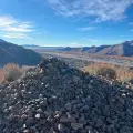
Finally, at the .55-mile mark, the climb ends, marked by a large cairn. Stop and enjoy the views and then begin the gentle descent along the sagebrush-covered mountaintop. At .8 miles, come to a posted junction and stay right.
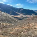
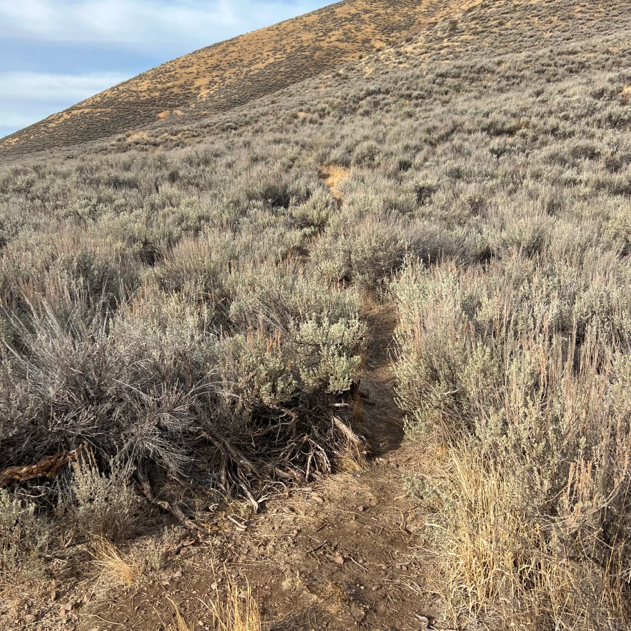
As you continue on the narrow rocky path, a small gulch will open to your right. The trail curls through the gulch and then the descent becomes slightly more aggressive as it slices straight through to the valley floor. Just after the 1.5-mile mark, come to the first of two signed intersections, staying right at each of them. That bail-out descent at the .2-mile mark of this hike re-connects with this trail between the junctions.

Parallel the Quigley Valley on the high road – the path below you is part of the Quigley Loop hike. As you continue towards the trailhead, Quigley Hill rises straight in front of you, a reminder of what you just accomplished.
Hike Categories
Distance: 0 to 4 miles
Difficulty: Hard
Drive: Easy
Scenery: Okay
Shade: Sunny
Solitude: Moderate
Experience: Neither
Locations: Hailey