Proctor Mountain
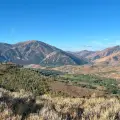
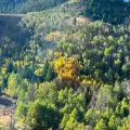
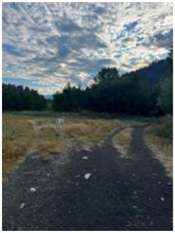
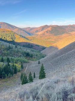
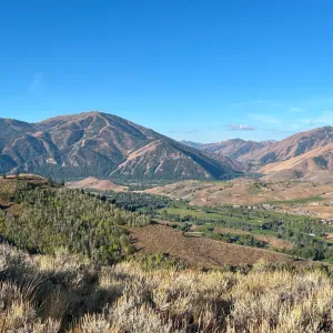
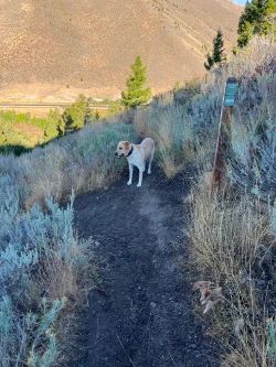
This is perhaps the most popular hike in the entire Sun Valley region, frequented by locals and tourists alike. As such, you can expect to share the trail with plenty of hikers and dogs as you climb Proctor Mountain through a patchwork of trees and open fields. It is challenging, with a particularly difficult second mile, but as you make you way down from the peak of the hike you are rewarded with fantastic views of the valley and Bald Mountain.
We strongly suggest doing the loop counterclockwise. In that direction, the climb is slightly more intense, but shaded, and the descent is a little easier on the knees. More importantly, it rewards you with a straight sightline to those fantastic views.


1125 total elevation gain
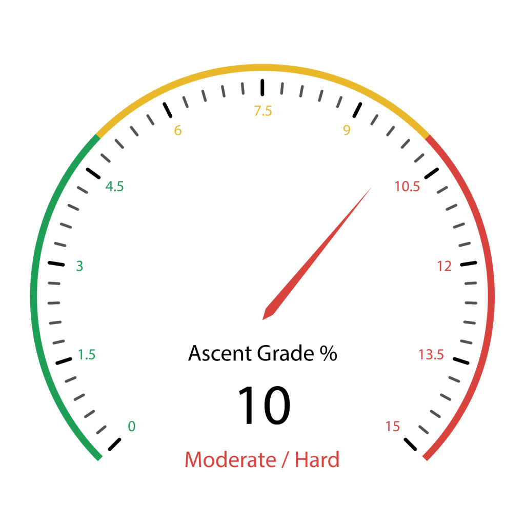 Hardest Mile: 13.2%
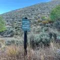
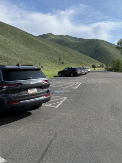
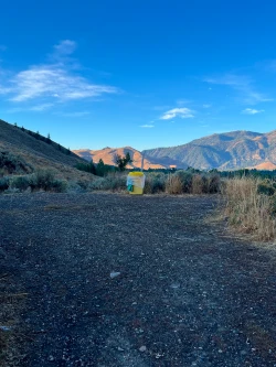
From downtown Ketchum, it is an easy 2.6-mile drive with all on paved roads. Click here for directions to the trailhead. There are about 30 parking spots on either side of the street, but spots can still get scarce by mid-morning during the summer.
There are no bathroom facilities at the trailhead.

May through October
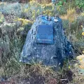
Go straight and quickly come to the Hemingway Memorial.
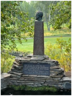
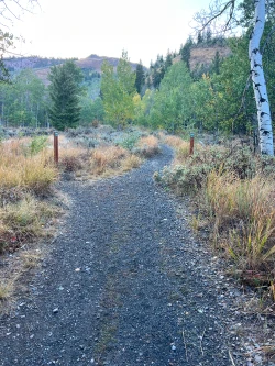
Wind to your right and around the memorial. Go downhill and come to a T-junction with a wide path. Turn left.
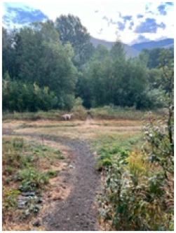
Trail Creek flows to your right as you continue along the wide path. Just before .2 miles, the path splits. Veer right and cross a bridge over the creek.
Directly after the bridge, turn left and head up a very short, steep hill and turn left again at the top.
As you wind around the hillside, you will see Trail Creek Cabin to your left. After a short descent, you will come to a four-way junction at .4 miles. The trail straight ahead takes you to South Aspen and the path to your left leads to Corral Creek. Turn right and go up a small hill.
At the top of the hill, you will come to a wide posted junction. Shooting straight up the mountain to your right will be the beginning of the Ruud Mountain hike. Turn left to get onto the Proctor Mountain trail.
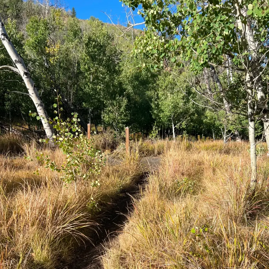
The wide trail slowly rises through a small canyon with a couple small offshoots to either side. Except in the driest years, there is a small stream that runs along the right side of the trail.
At .8 miles, you will come to the double-posted Proctor Loop junction. This is where you will re-connect with the wide path towards the end of your hike. Stay straight to hike the trail in the counterclockwise direction.
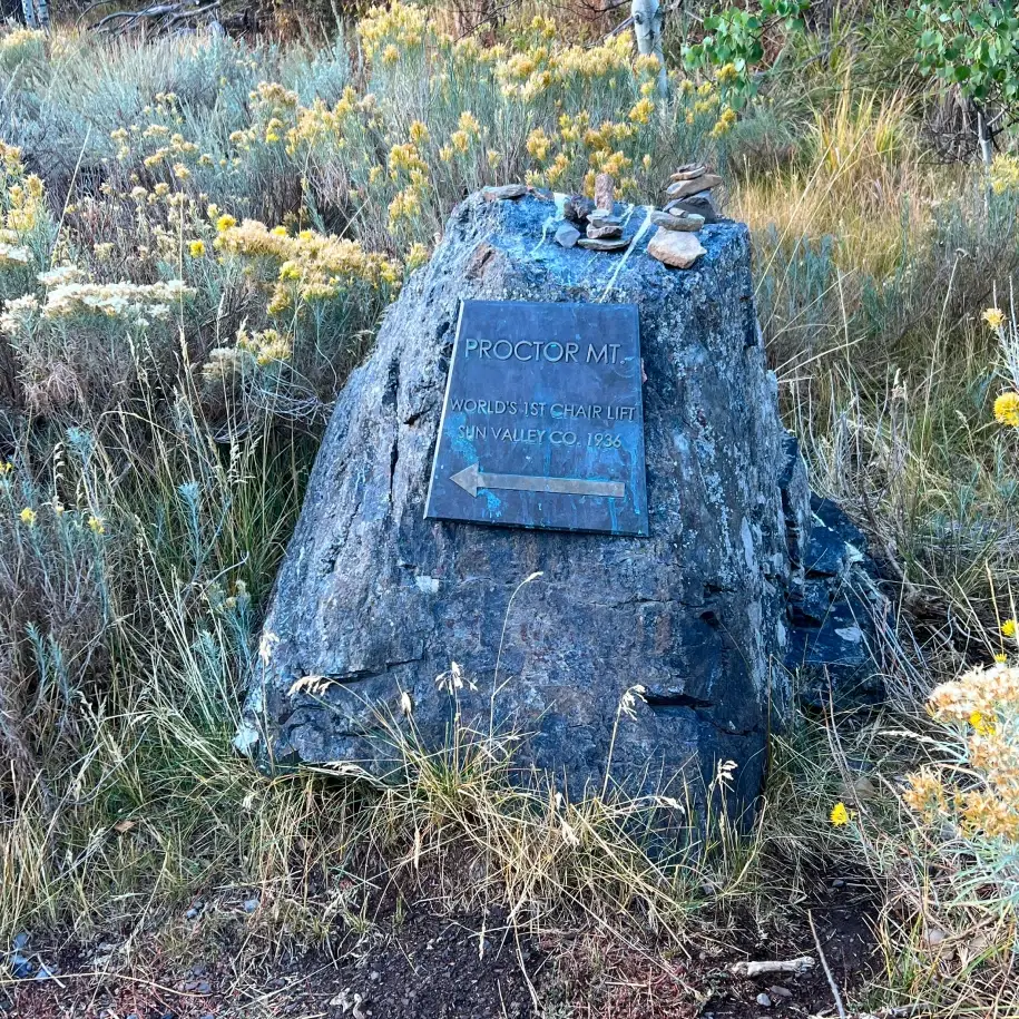
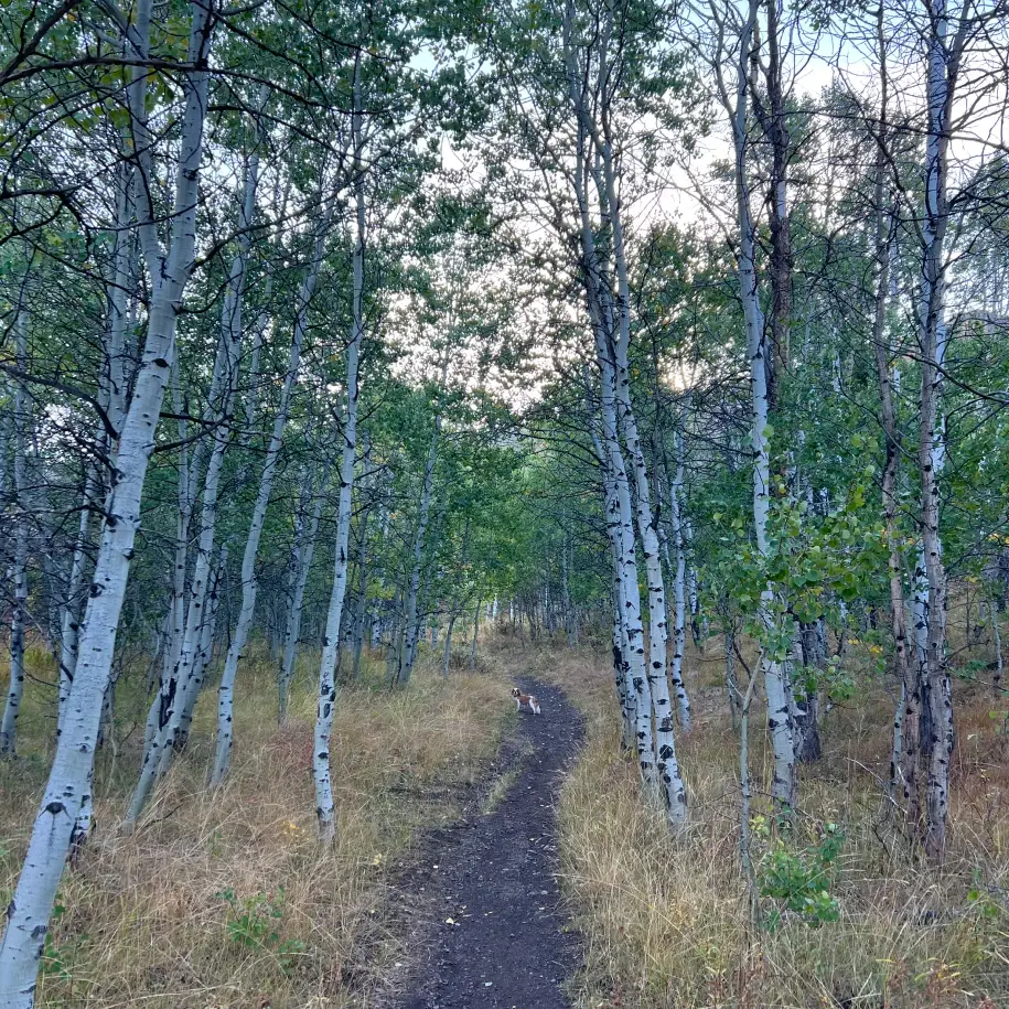
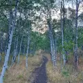
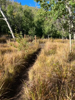
The trail narrows and steepens somewhat as you pass through aspen groves. Just before the mile mark, you will come to a plaque commemorating the world’s first ski lift and shortly after that a sign marking where its bottom terminal used to sit.
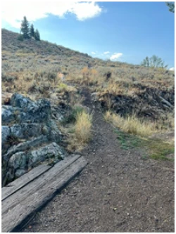
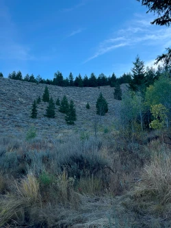
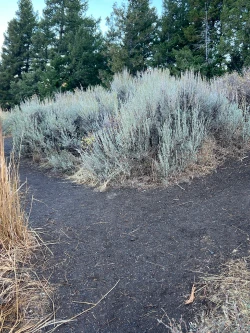
The trail steepens again as you pass in and out of wooded sections. At 1.3 miles there is a watering hole just to the right of the trail, though it can run dry during droughts. At 1.5 miles the trail steeps again. Rising before you in the distance is a sage-covered ridge. You will eventually cross through the middle of it to get to the hike’s peak.
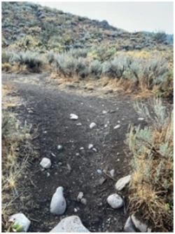
At 1.55 miles, turn right, head out of the valley and onto a small hillside ridge. The trail mercifully flattens just a bit before rising once again to an ill-defined junction at 1.65 miles. Take a U-Turn to the left.
As you continue up the hill, there’s one last short steep section before the trail out flattens again as you enter a stand of tall pine trees. You will come to a left turn that marks the beginning of the traverse across the ridge you saw earlier. As you cross, look to the left for great views of northwest Sun Valley and then peek down at the trail you just climbed.
At 1.85 miles, come to another posted junction. To the right is the end of the Ruud Mountain loop. Stay left.
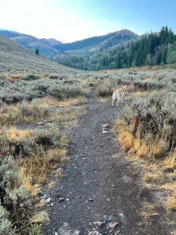
From here, the trail slightly descends along an open mountain top covered in sage. Magnificent views of Bald Mountain and much of the valley open as you continue down the hill.
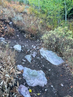
The descent intensifies a bit as you continue winding around Proctor Mountain and at 2.75 miles you will come to an offshoot straight in front of you. Take a U-Turn to the right.
Shortly after the U-Turn, there is an offshoot to the right that leads to a bench memorializing Kim Germer-Prew, a Sun Valley local and hiking enthusiast who passed away in 2014 after battling cancer. Shortly before the 3-mile mark, you will come to a posted junction with South Aspen/Aspen Loop. Turn left.
The trail continues winding down the hill until it flattens at the valley bottom. The double-posted junction you passed earlier is at 3.3 miles. Turn right and re-trace your path to the trailhead.
Hike Categories
Distance: 0 to 4 miles,4 to 8
Difficulty: Moderate
Drive: Easy
Scenery: Nice
Shade: Moderate
Solitude: Busy
Experience: Classics
Feature: Fall Foliage,Snowshoe
Locations: Ketchum/SV