Miner Lake-Prairie Lakes Loop
This Sun Valley classic is a beautiful, challenging hike through varied terrain leading to three of our striking alpine lakes. The best of this bunch is the largest of the Prairie Lakes, which is an excellent spot to camp or even just grab a quick bite.
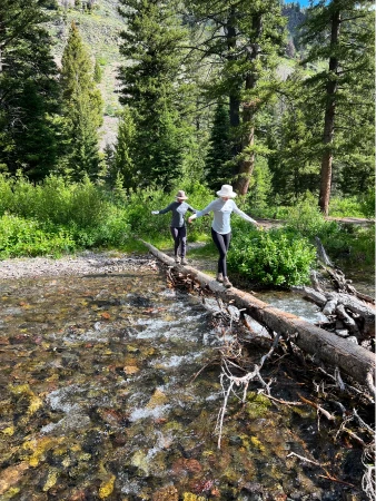
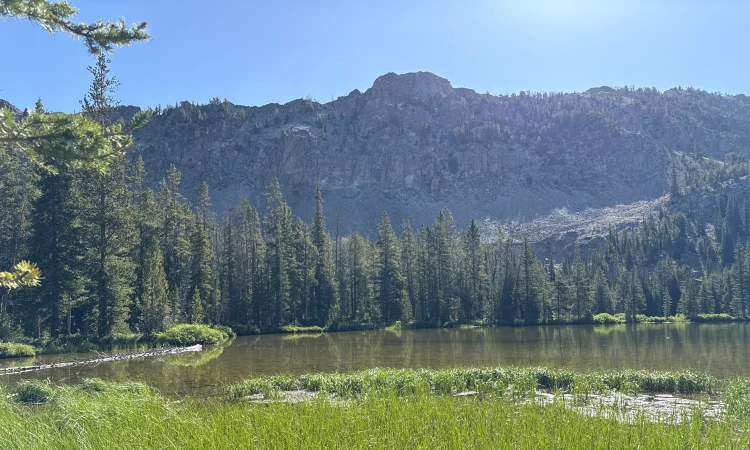
After a few early water crossings that can be tough during periods of high water, the trail’s first couple miles roll gently through woods and meadows. Just after the 2.5-mile mark, the ascent steepens dramatically for nearly a mile – a real heart pumper. The last push to Miner Lake starts through a picturesque mountaintop meadow framed by the Smoky Mountains and ends in a shaded forest grove. Miner Lake is less popular than the Prairie Lakes, so it is a good spot to relax and enjoy some peace.
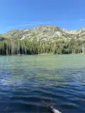
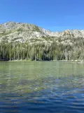
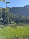
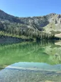
The rest of the hike is largely downhill. The Prairie Lakes lay two miles southwest of Miner Lake and the pleasant hike glides through alternating patches of light forest and sagebrush meadows. Wildflowers are prolific in mid-summer. There are four Prairies Lakes, but only two are easily accessible. The smaller of the two makes for a quick stop, but the largest of the Prairie Lakes is one of our valley’s true gems.
The rest of the hike is a steady descent through woods and meadows, with a few easy water crossings before you come back to the junction that took you to Miner Lake.
We choose the clockwise route for this loop because the counterclockwise descent is much more difficult. For our money, take the calorie-burn and save the knees.


1925 feet total elevation gain
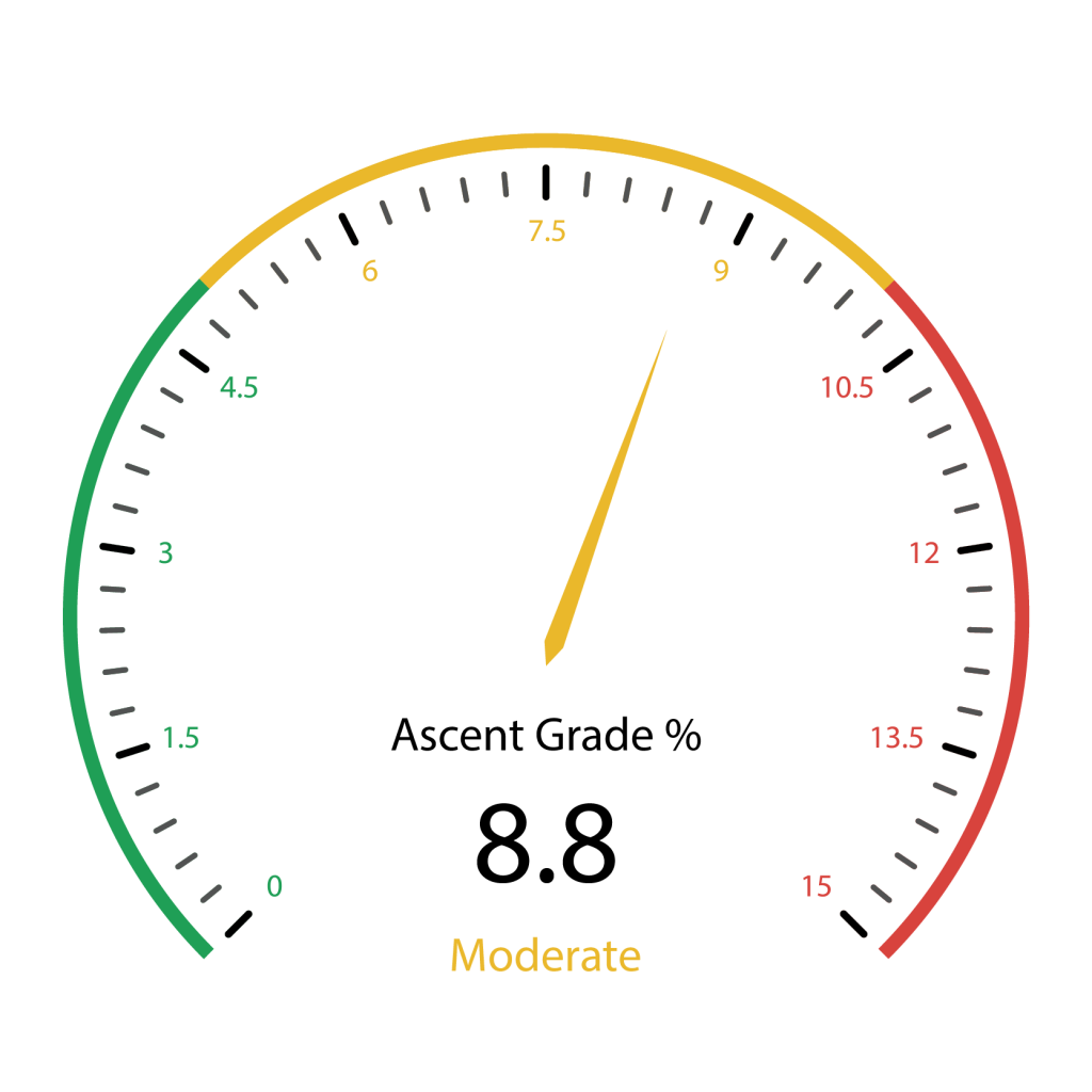 Hardest Mile: 11.8%
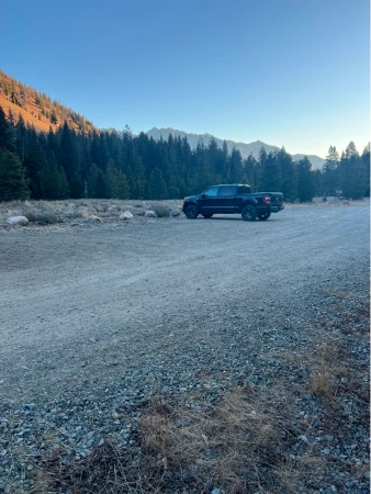
From downtown Ketchum, it is a 21.2-mile drive with the last 2.5 miles on a well-maintained dirt road. Click here for directions. There is parking for about 12 cars, though the lot will fill up on summer weekends.
There are bathrooms at the trailhead.
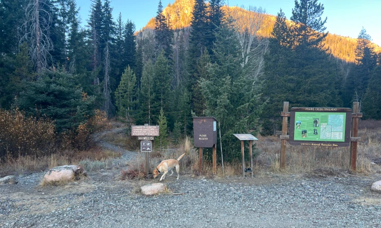
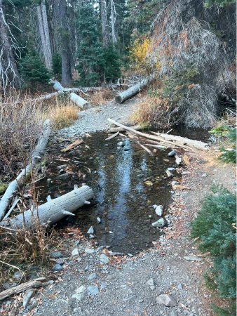
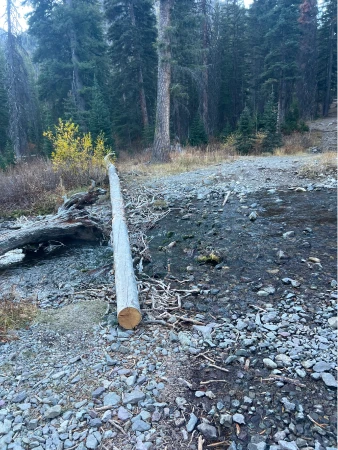
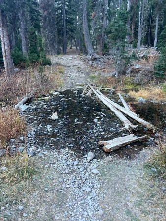
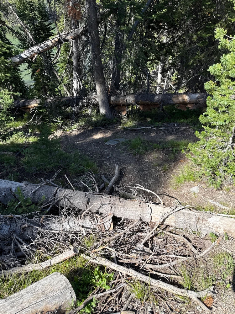
Regardless of which way you start, there are a number of stream crossings within the first 500 feet. Use deadfall to cross each of them.
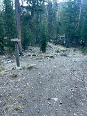
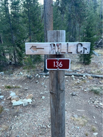
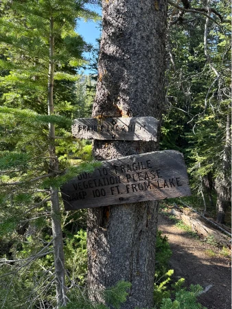
At .15 miles, come to a signed intersection with Mill Creek. Stay right.
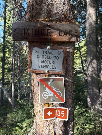
The next couple miles are a pleasant stroll through alternating patches of woods and meadows. There are a few easy water crossings along the way. At 2.25 miles, come to a signed junction pointing to Miner Lake. Veer left.
Quickly come to another creek crossing – this one changes every year, so walk the bank until you find the driest route across.
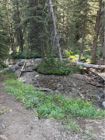
Come to another creek crossing at 2.45 miles. At 2.55 miles the hardest section of climb begins up a rocky slope. There is no water along this part of the route.
At 2.75 miles, a waterfall crashes to your left and the trail eases for a bit. It picks back up again at 3 miles until finally relenting at 3.3 miles as it dips back down to the creek. Take a second to catch your breath and filter water if you need to.
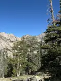
The trail then enters a beautiful mountaintop meadow and views open to the magnificent Smoky Mountains. The final push of climb begins at a small grove of pines around the 3.8-mile mark. As the climb eases, come to a junction with a sign pointing to the trail to Prairie Lakes. You will come back to this point, but first turn left and wind through the paths to Miner Lake’s shoreline.
Head back to the junction to Prairie Lakes and turn left. The trail immediately comes to an easy creek crossing and then ascends and quickly descends through the woods. The rest of the route to Prairies Lakes rolls through woods and meadows, though a few easy climbs sneak in here and there.
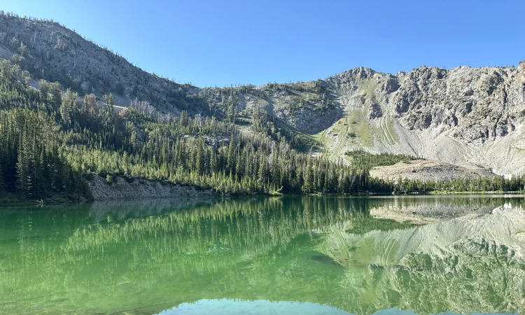
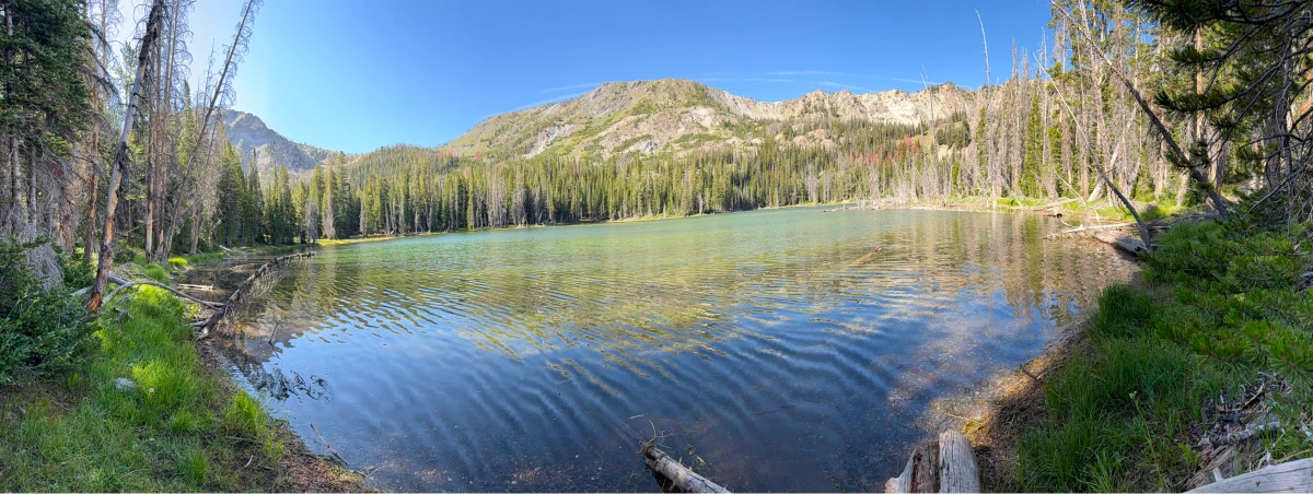
The smaller of the two easily accessible Prairie Lakes comes into view at about 5.75 miles. Cut left through the woods to access the shoreline.
Hop back on the trail and climb a small knob. The larger of the Prairie Lakes comes into view, though it is obscured by the woods between it and the trail. At about 5.95 miles, a small trail spur on your left runs down to the lake.
From the lake, the trail descends through a pleasant mix of woods and meadows with a few more stream crossings along the way. The descent becomes more marked as you continue, but the soft trail is easy on the knees. Come to the junction with Miner Lake at 8.4 miles and stay straight to reach the trailhead.
Hike Categories
Distance: 8+
Difficulty: Hard
Drive: Moderate
Scenery: Spectacular
Shade: Shady
Solitude: Moderate
Experience: Classics
Feature: Lakes
Locations: Smokys