Fox Creek
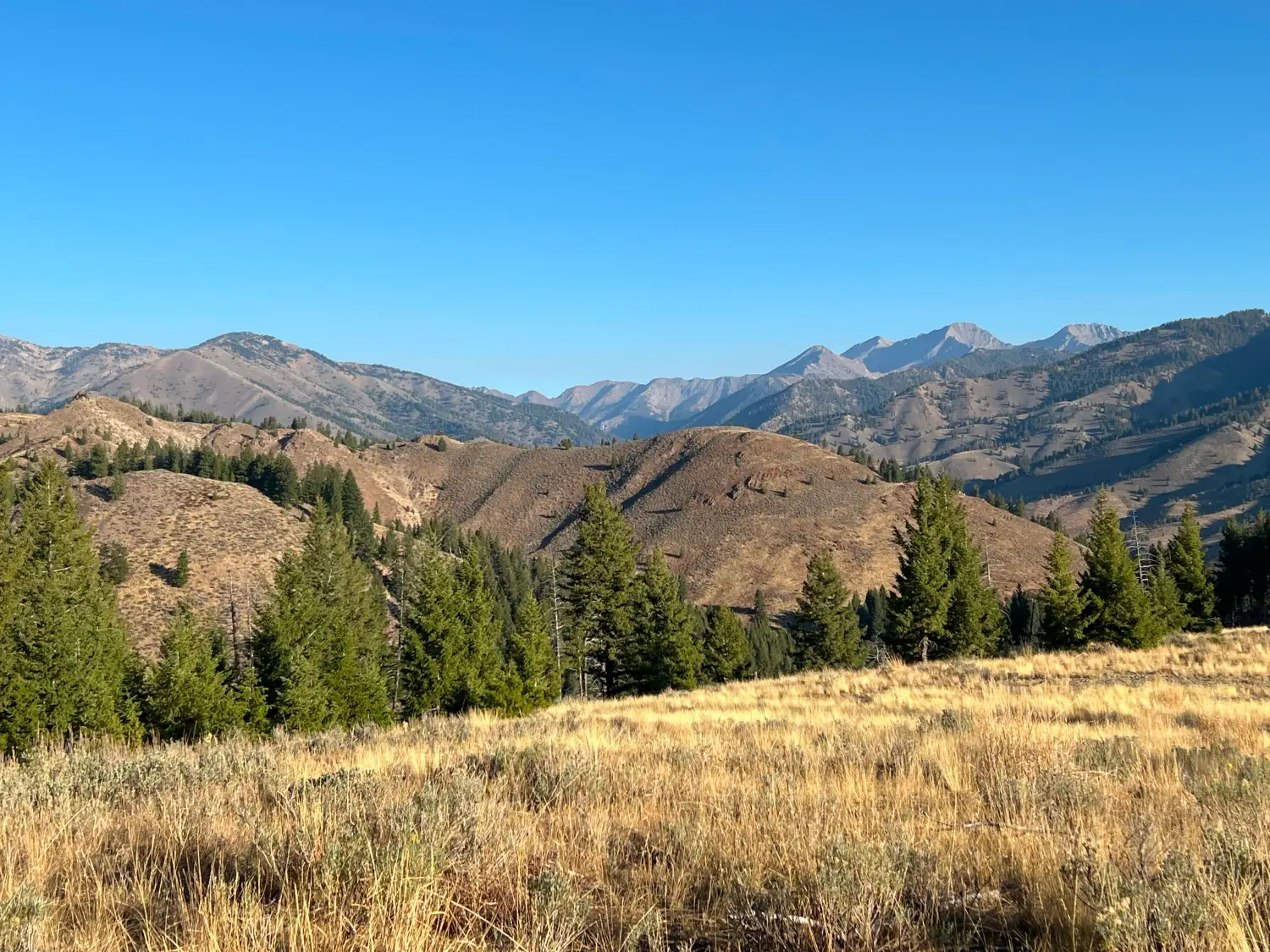
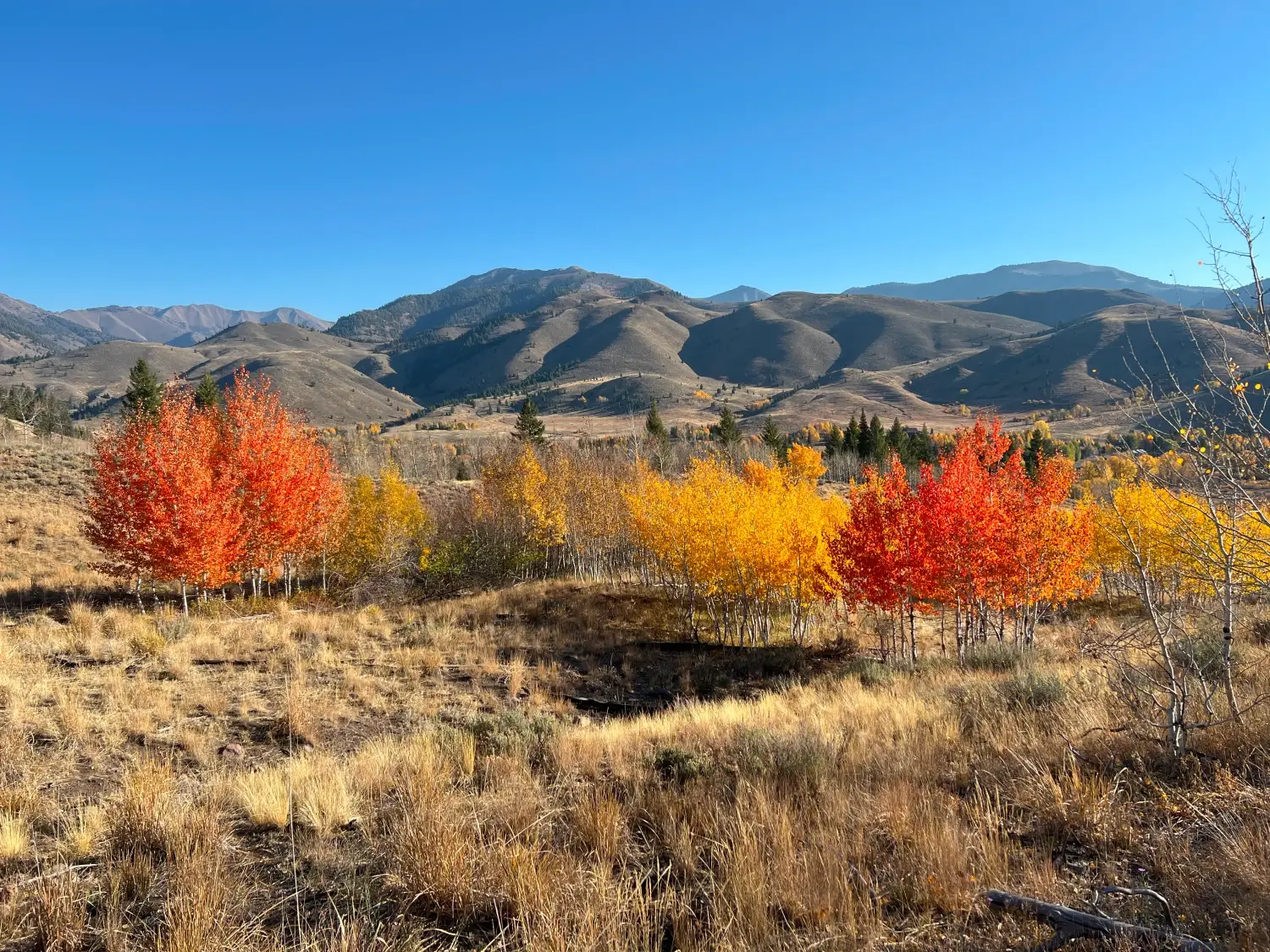
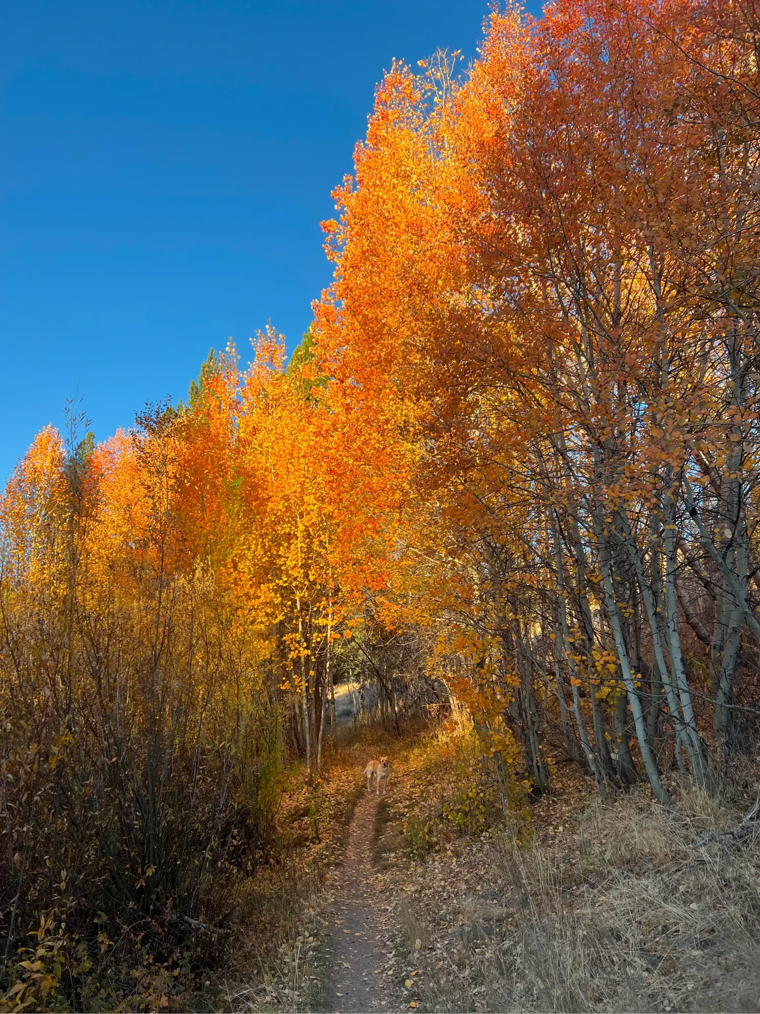
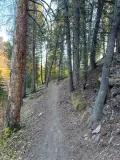
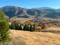
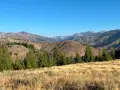
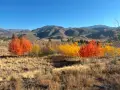
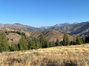
Fox Creek is a staple hike among Sun Valley locals. The hike features beautiful wildflowers in June and early July and dramatic colors in the fall. Hikers warm up with an easy opening mile through the woods before a moderate, shady ascent. As you reach the peak, the trail gently rolls through an alternating series of meadows and trees with striking views the Boulder and Smoky Mountains. After a slightly tricky descent, much of the end of the hike borders the beautiful Big Wood River.
Fox Creek is a popular mountain biking route, so be aware of your surroundings. In the spring and summer, bring bug spray, as mosquitos like the wooded areas of the hike.


830 feet total elevation gain

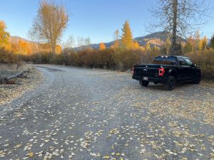
There are bathrooms at the trailhead.
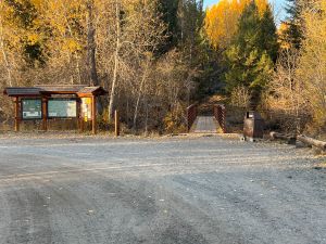
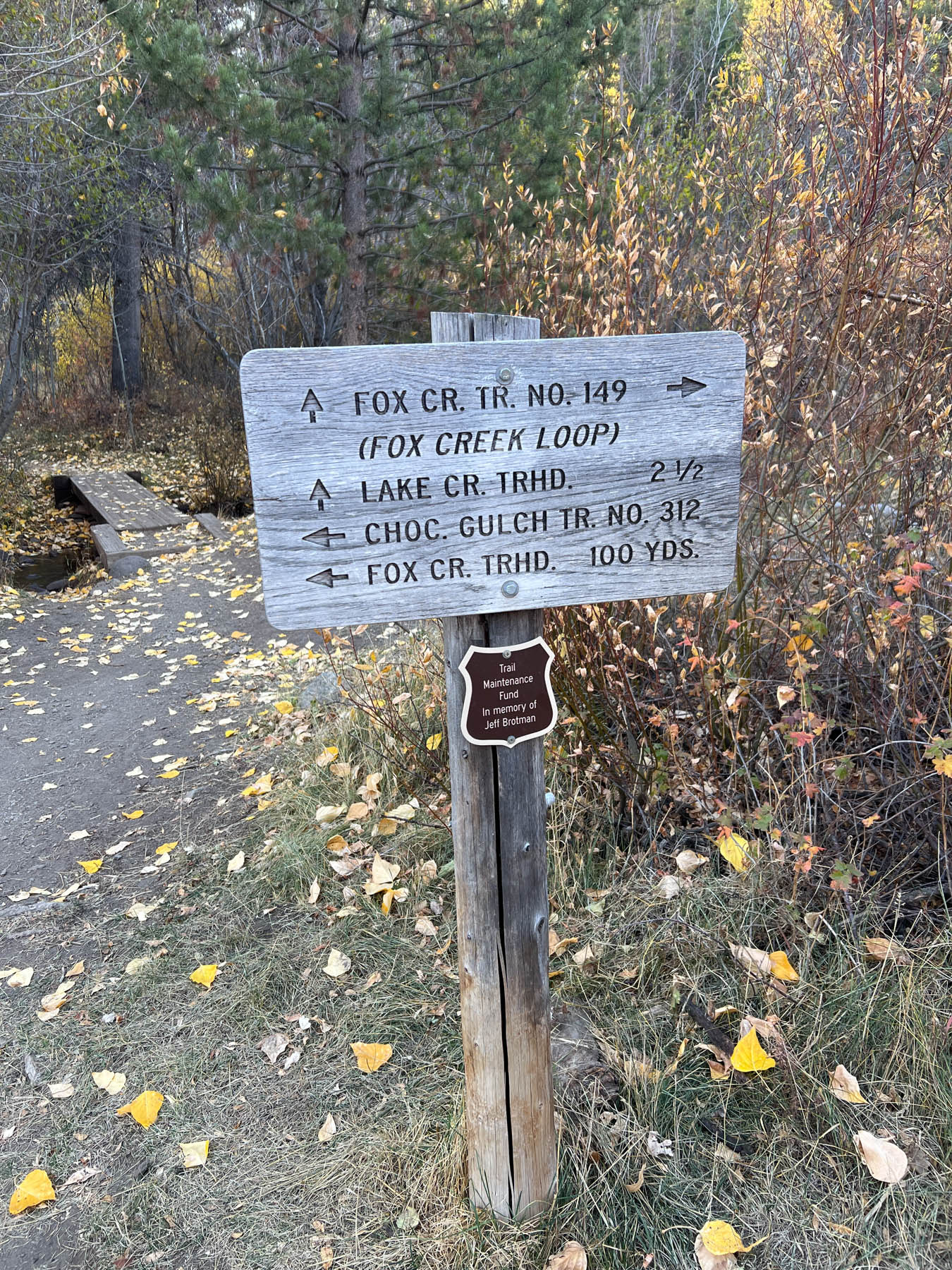
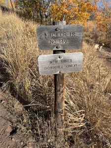
The trail starts with a bridge crossing over the Big Wood River. Following the sign to the junction with the Fox Creek Trail, stay left immediately past the bridge. The trail to the right is the first of a couple junctions with the fantastic Chocolate Gulch hike.
In about 300 feet, come to a signed junction that marks the start and end of the Fox Creek Loop. Stay right and follow the trail counter-clockwise; this matches the required direction for mountain bikers and helps avoid surprise encounters as you turn corners in the woods. Plus, you’ll climb in the shade rather than directly in the sun.

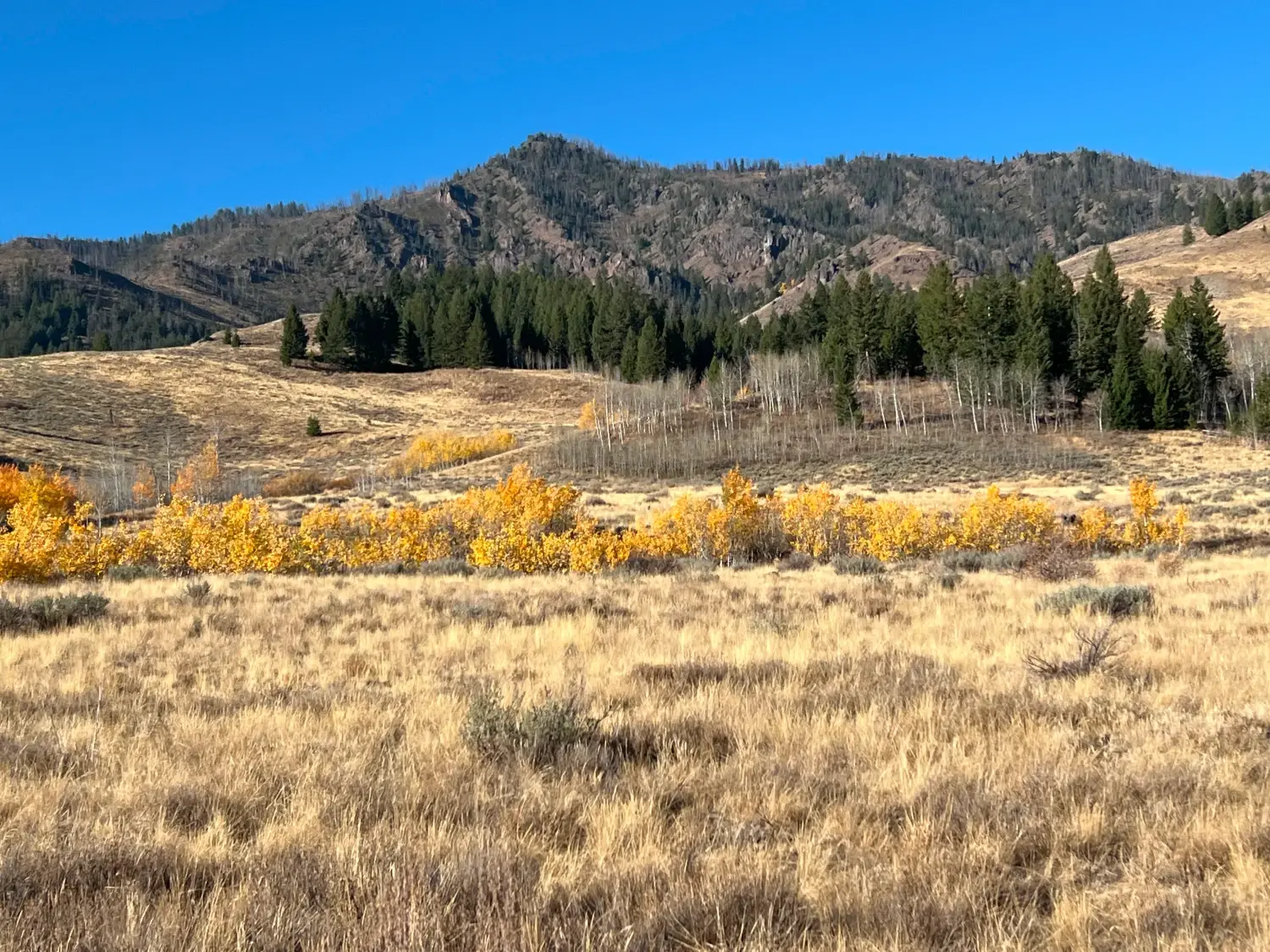
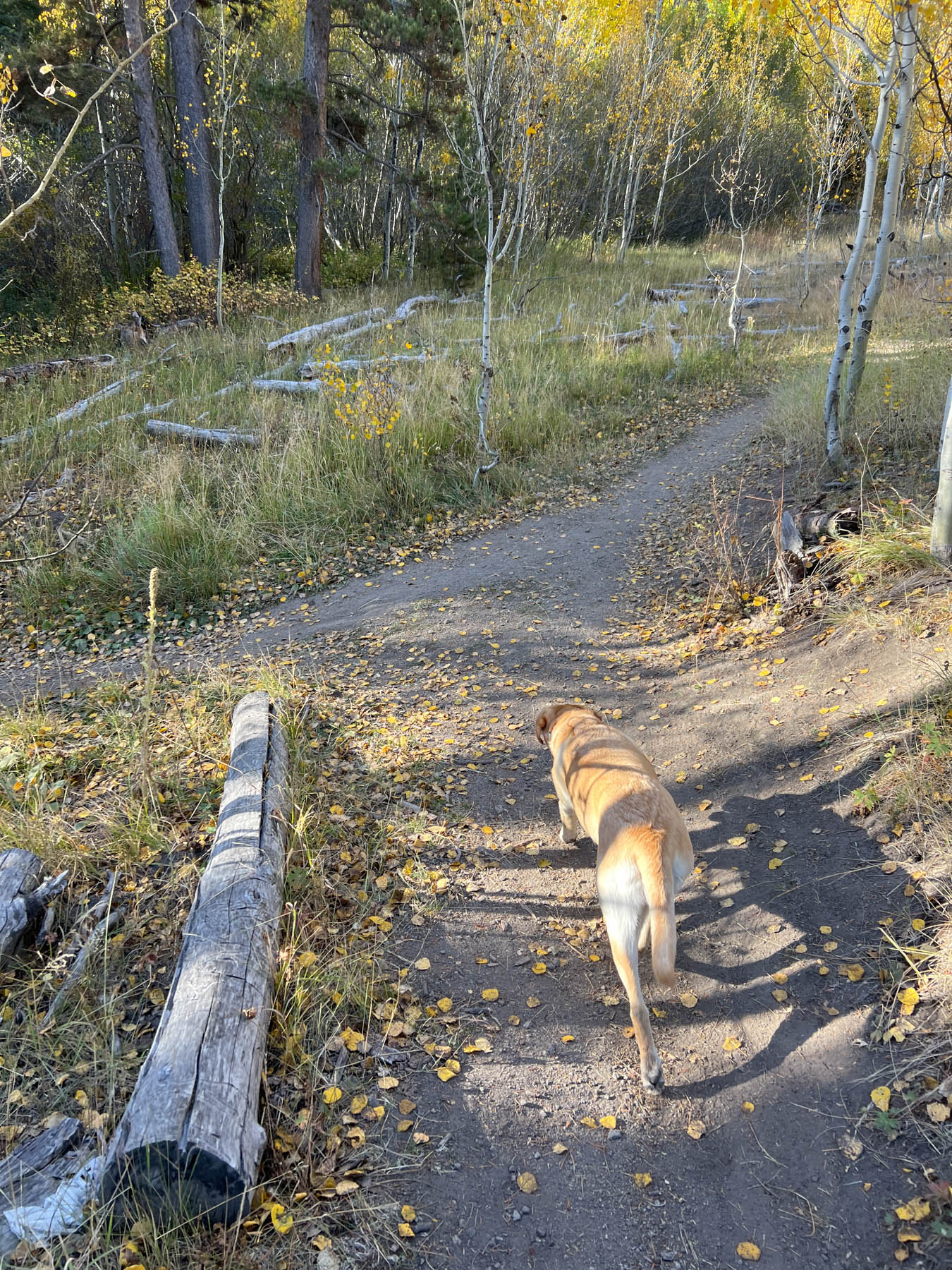
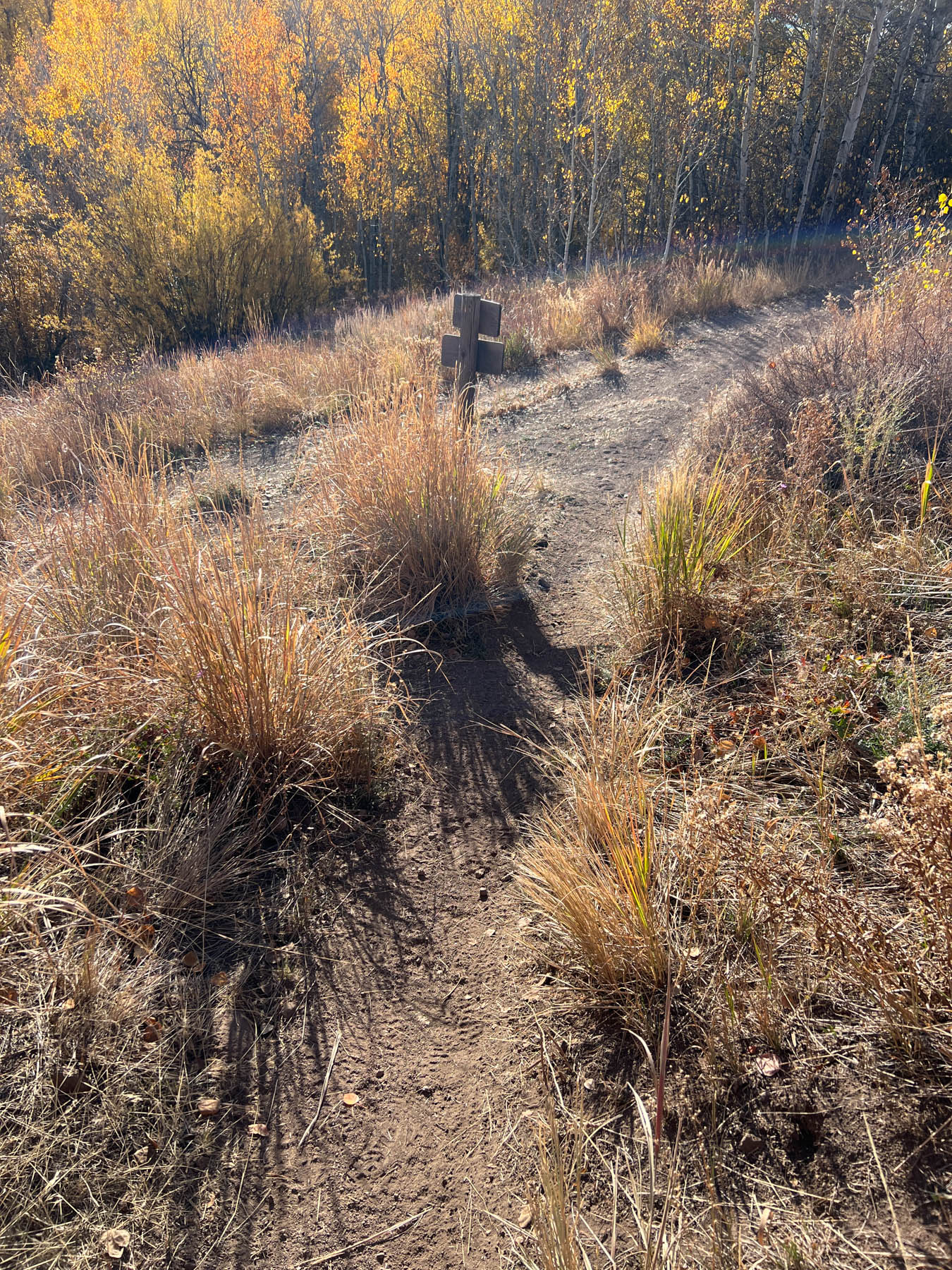
The start of the loop takes you through a small valley lined with aspen trees as well as a variety of pines. At .3 miles, come to a junction with the North Fork Trail and turn left.
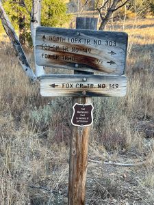
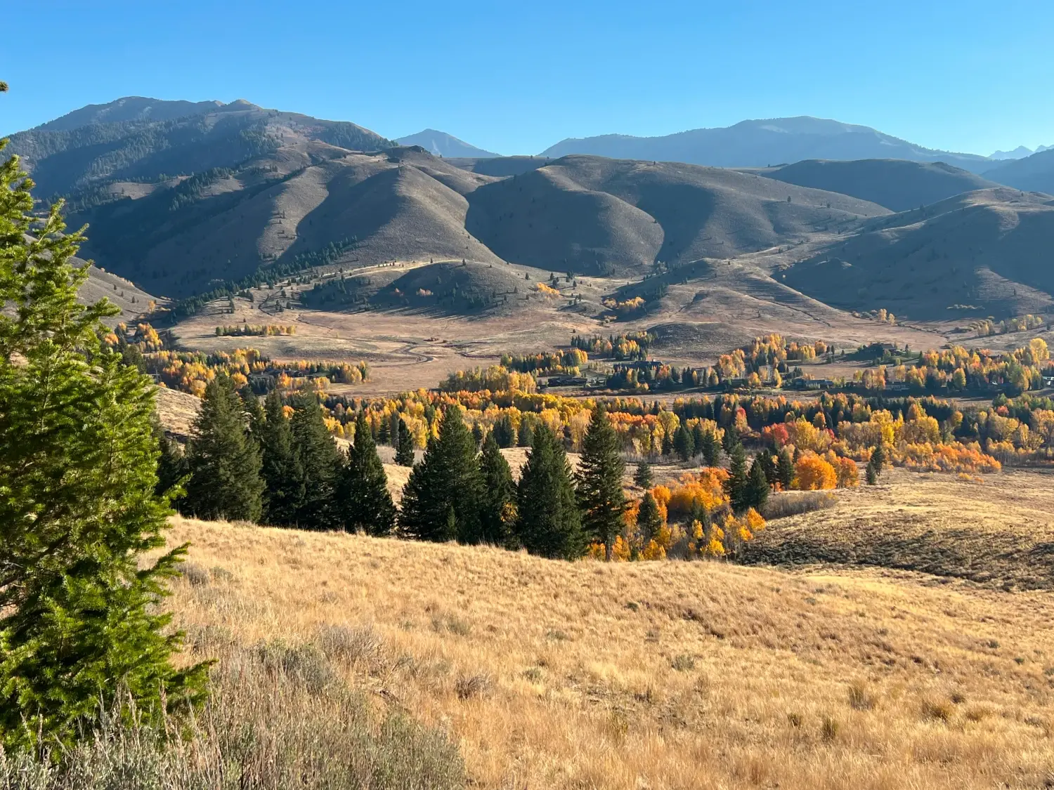
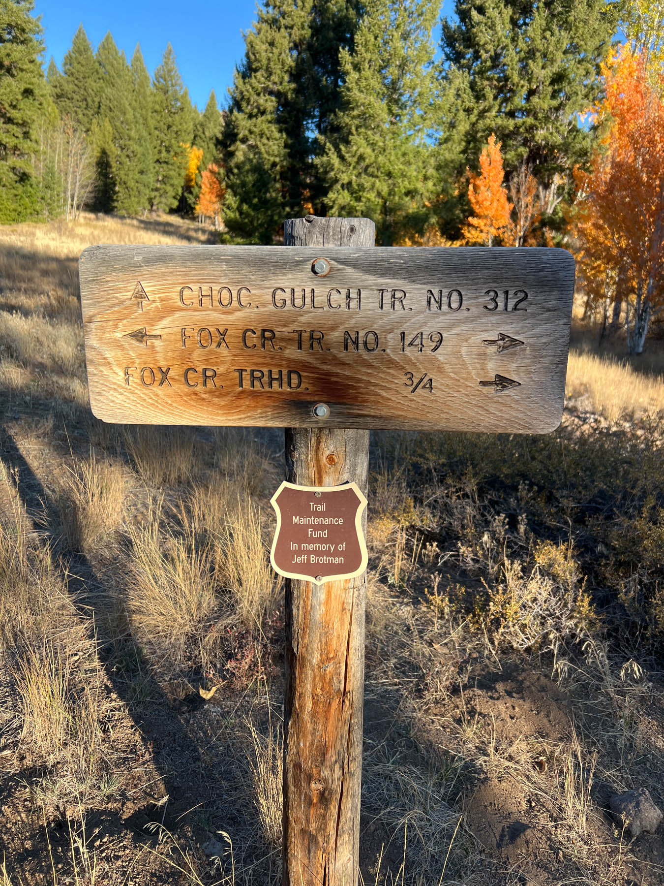
As you continue, tall peaks of the Smoky Mountains rise straight in front of you while Fox Creek runs along down a small hill to the left. At .83 miles, come to second junction with Chocolate Gulch and again stay left.
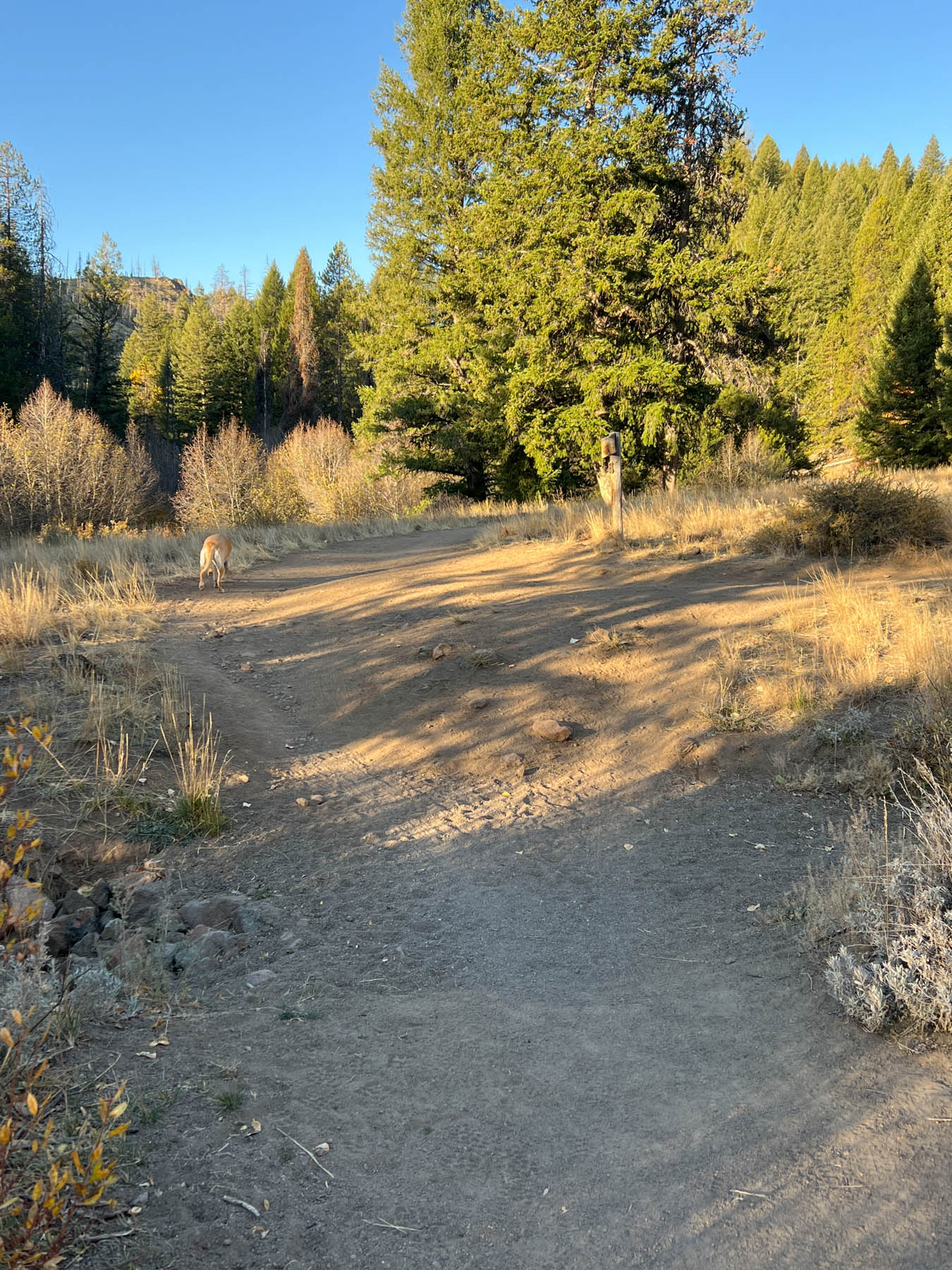
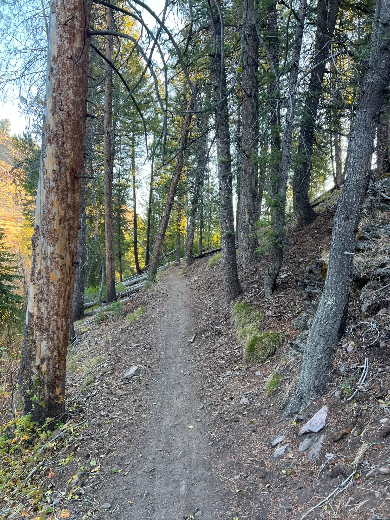
Just before the mile mark, use deadfall and then a small bridge to cross Fox Creek and enter the forest where the trail begins its main ascent. As you wind your way up through the woods, you will start to see evidence of the 2007 Castle Rock Fire. At 1.6 miles the trail opens to the sky as hundreds of burnt trees provide evidence of the fire’s ferocity. Keep an eye to the left of the trail to see a sign that marks the tree hit by a single bolt of lightning, igniting the massive blaze. Crest the hill at 1.7 miles. A dirt patch to your right serves as a rest area for mountain bikers and hikers alike.
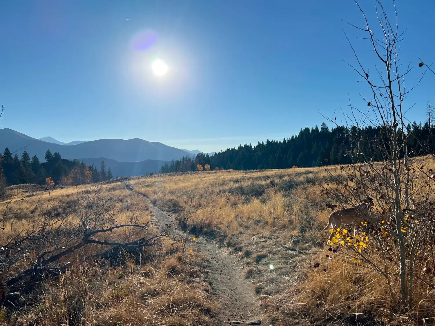
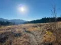
Continue descending slightly through the woods until you come to an open meadow at about the 1.9-mile mark. The Boulder Mountains loom to your left as the rocky trail continues to descend. Wildflowers are often in full bloom here during June and July.
Just after hitting 2 miles, a small grove of aspens surround a pond that turns into a marsh during dry seasons. The trail meanders through more woods and meadow and at 2.5 miles comes to a bench memorializing Julie Forbes Holmquist, who moved to Ketchum from California in 1972. Her daughter, Holly Holmquist, is a local artist. Cross a small stream at 2.6 miles.
At 2.75 miles, come to the main descent, marked by a sign warning riders to watch for hikers. The trail drops along an open hillside and as you continue, excellent views of the Wood River Valley open to the left. At about 3.1 miles, hop across another small stream and just after 3.5 miles, reach the valley floor and a junction with a wide path that takes you to the Lake Creek area if you continue straight. Take a sharp left to remain on Fox Creek.
The wide two-laned trail passes along the valley floor roughly paralleling the Big Wood River, though the river will not be accessible for about another half mile. As you walk along the open trail, there are straight-ahead views of the Boulder Mountains while the Smoky Mountains rise to your left. After crossing another stream at 3.95 miles, the Big Wood River cozies up to the trail, providing an excellent opportunity for your dog to take a dip.
The trail narrows after the 4-mile mark and slightly rises before it moves along a tallus-covered hill overlooking the river. At 4.4 miles, cross a small earthen bridge over an often-dry streambed. Enter the woods and then pass over a stream via a plank bridge at 4.5 miles. The trail widens as it crosses along the left side of a meadow and then narrows again before it runs into the Big Wood River at 4.8 miles.
The coda to the hike begins with a sharp left turn at the river and then a short burst of a climb, rising about 90 feet over a 1/10th of a mile.
Next is a quick, rocky descent on a ridge and finally a pleasant roll through the woods. At 5.2 miles, come to a sturdy plank bridge that spans Fox Creek. The loop ends just after the bridge. Turn right to get back to the trailhead.
Hike Categories
Distance: 4 to 8
Difficulty: Moderate
Drive: Easy
Scenery: Nice
Shade: Shady
Solitude: Moderate
Experience: Classics
Feature: Fall Foliage,Wildflowers
Locations: Ketchum/SV,Smokys