Cow Creek Loop
Sun Valley is an amazing place to live and play for about 10 months of the year. But during mud season, which usually lasts from April through mid-May, locals go stir-crazy waiting for snow to melt and trails to dry up. Hikers in the know set their eyes on trails south of Ketchum and Sun Valley, especially those that are fully exposed to the spring sun. The Greenhorn area, which includes Cow Creek Loop and several other trails, meets those criteria, so hikers and bikers flock there in mid-May to get their season started.
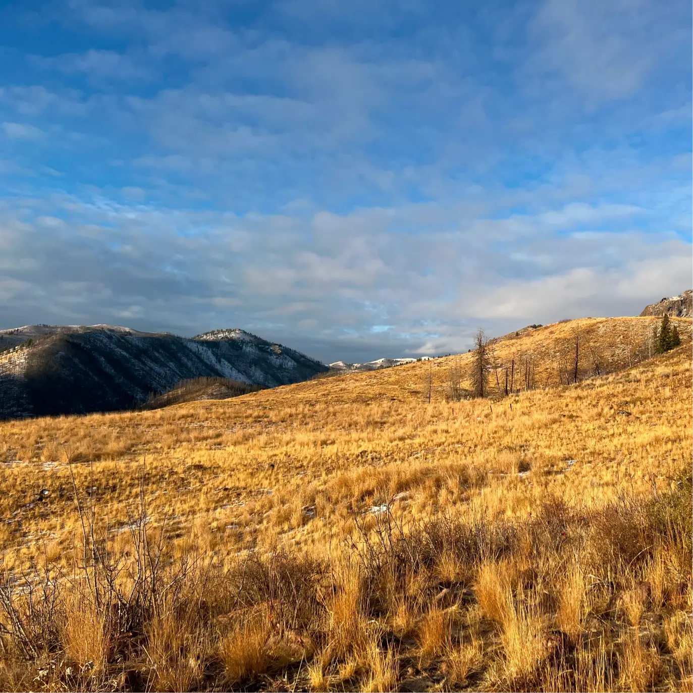
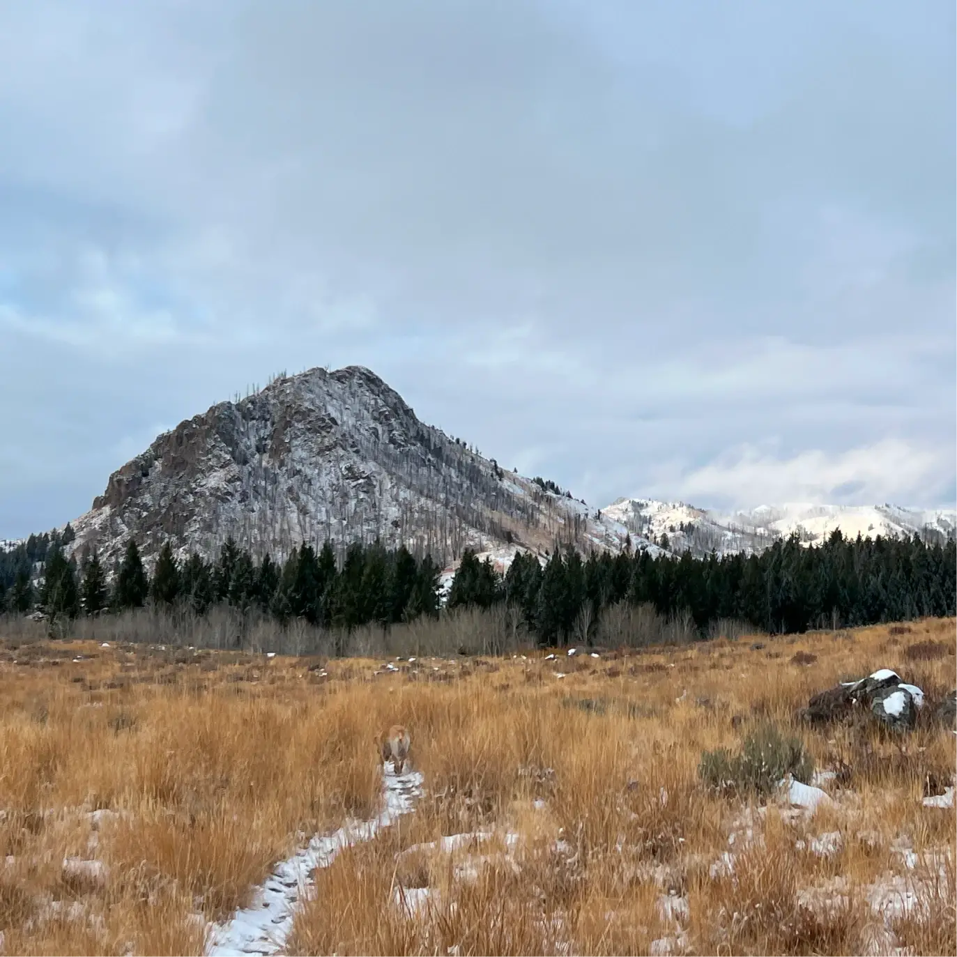
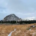
Cow Creek Loop may not be the most beautiful hike in the region, but it is a solid option in any season. It starts with a steady climb before rolling along a mountaintop meadow. The descent offers good views of the Greenhorn valley and the start of the Smoky Mountain range. Given its exposure, it is recommended that summer hikers get it done before the heat of the afternoon kicks in.


1150 total elevation gain
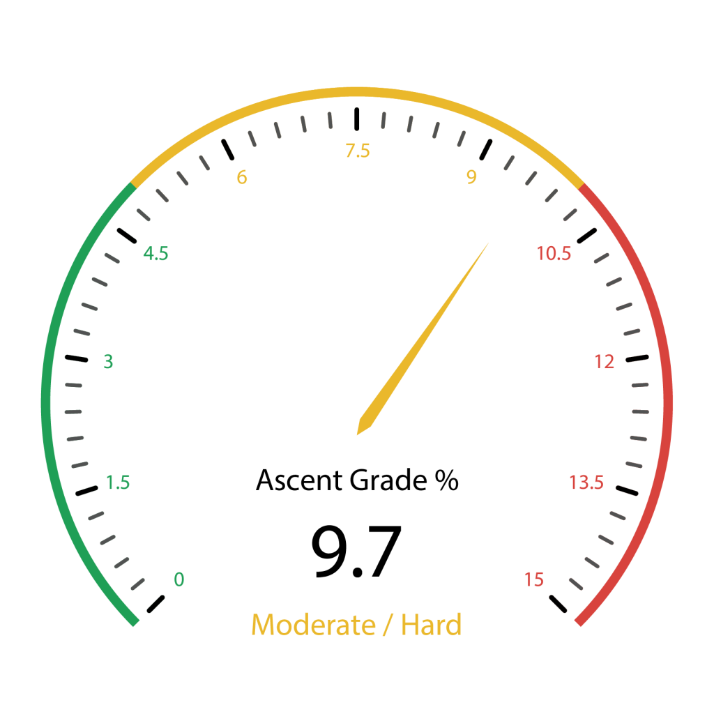 Hardest Mile: 11.7%
There are bathroom facilities at the trailhead.
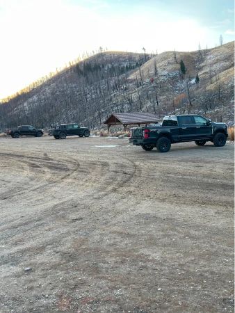
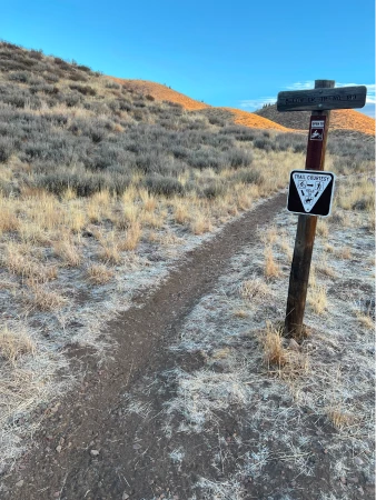
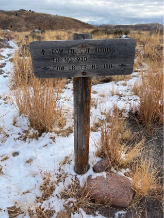
To find the trailhead, put your back to the large map and information sign in the parking lot, walk straight up the small hill and look for small sign that reads, “Cow Cr. Tr. No. 180.” The trail begins with a gentle rise through a meadow and curves to parallel a fence line to your right. At .45 miles the climb gets significantly tougher as you turn to the left and begin ascending the hills.
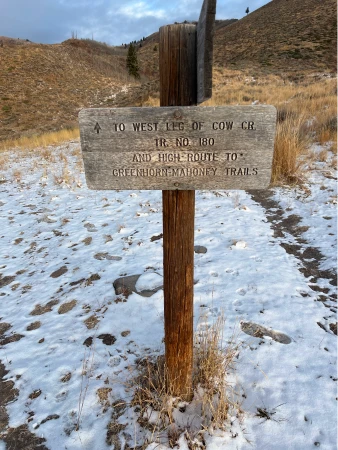
At 1.3 miles, the climb ends and the path begins to gently roll until you come to a junction shortly after the 1.5-mile mark. If you continue straight, it will take you up to the high road loop of Cow Creek, adding significant climb and mileage to the hike. Turn left.

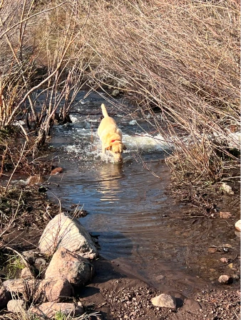
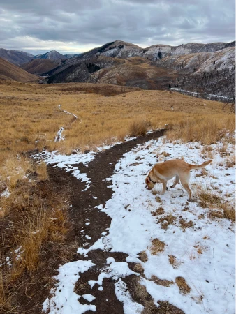
You will immediately start a quick descent as the trail dips down towards Cow Creek, which you cross at 1.7 miles. During wet seasons it can be tricky to keep your shoes dry on this wide crossing, but most times it is quite simple and in the late fall it is entirely dry.

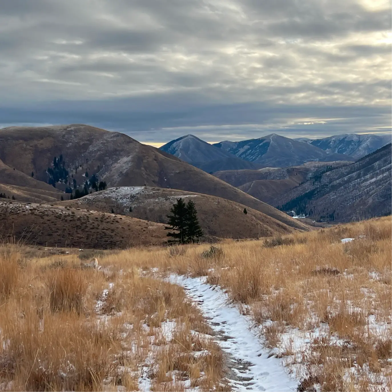
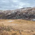
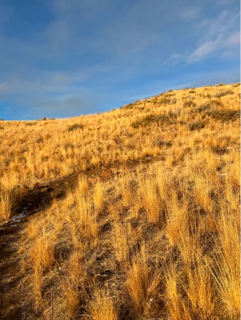
First photo is late fall and second is early spring
The trail rises up quickly from the creek and then generally ascends as you pass through a few aspen groves. At 2.1 miles, the trail levels out with great views to the Smoky Mountains directly in front. At about 2.15 miles, come to another signed junction and turn left to follow Cow Creek Cut Across. Going straight will take you to the end of the High Road loop of Cow Creek as well as a popular mountain biking route called Mahoney’s.

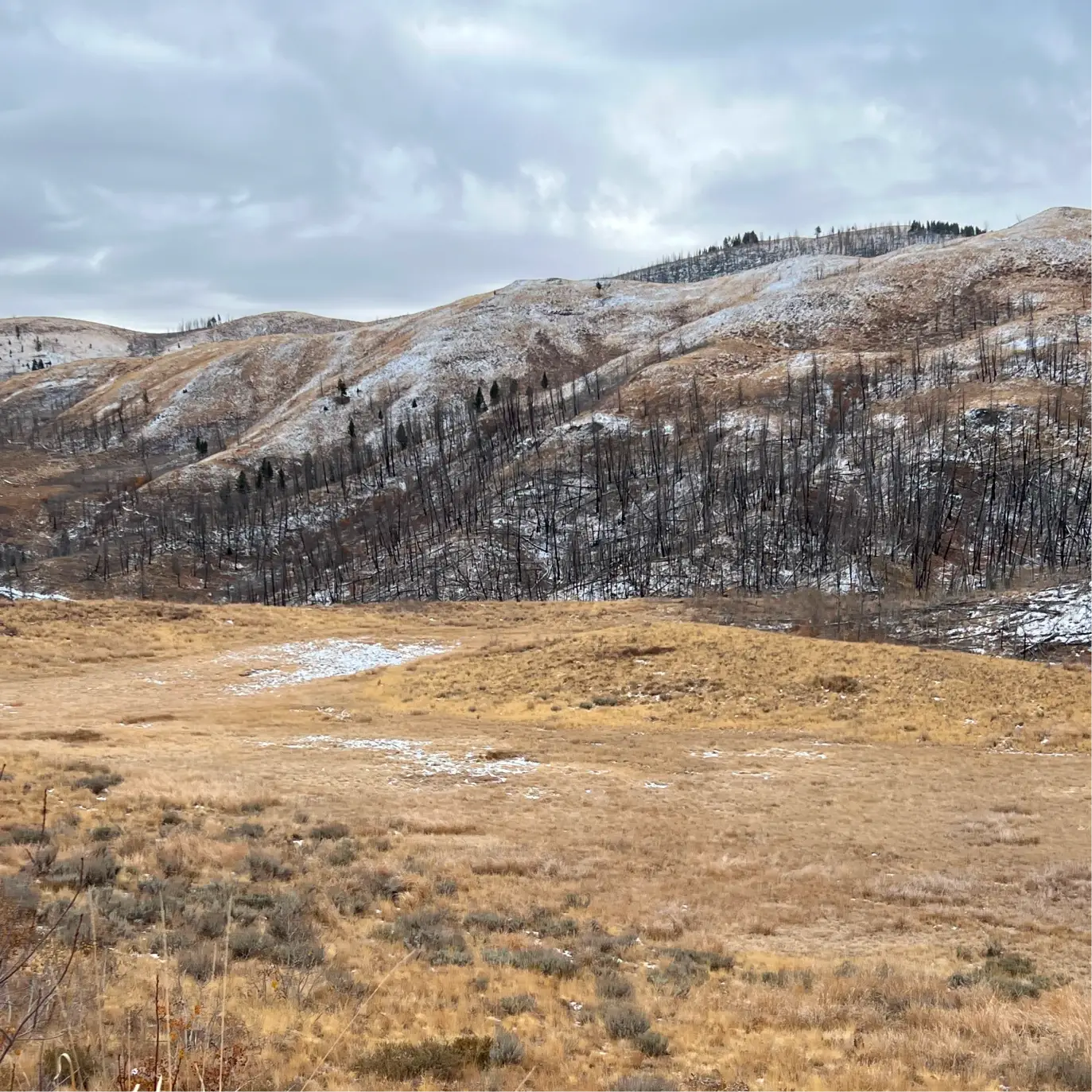
The trail begins descending through the mountaintop meadow offering good views of the valley below, including evidence of the 2007 Castle Creek Fire on the northern-facing mountains.
At 3.15 miles there is a pond which dries up by midsummer. When filled, it is a fun spot for dogs to play. The trail at this point is rolling, but with quick bursts of descent along the way. At about 3.4 miles, come to an unsigned junction and stay right.
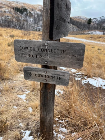
Continue rolling along and after a quick descent, come to another signed junction at 3.8 miles, this time with Cow Horn and Greenhorn, another incredibly popular mountain biking route. Turn left to continue on Cow Creek Connector.


The trail rises slightly after the junction as you walk alongside Cow Creek. At 4.1 miles, come to a bridge that crosses the creek. After the crossing, there is a fast climb and then a final descent to the trailhead. Ignore a spur shooting off to the left at 4.25 miles and continue downwards, minding your footing on the rocks and small boulders strewn throughout the trail. There are good views down towards beaver habitat, recently enhanced by a trailhead restructuring project sponsored by the excellent Wood River Trails Coalition.
The trail continues to wind down towards the parking lot and ends just after crossing the start of the trail to Greenhorn and Mahoney’s.
Hike Categories
Distance: 4 to 8
Difficulty: Moderate
Drive: Easy
Scenery: Okay
Shade: Sunny
Solitude: Busy
Experience: Classics
Feature: Wildflowers
Locations: Ketchum/SV