Chocolate Gulch/North Fork Loop
Chocolate Gulch is a standard go-to for Sun Valley locals, favored for its steady but not overwhelming climb, excellent views of the Boulder and Smoky Mountains, and variety of terrain. Rather than do the entire Chocolate Gulch loop, we prefer to use the North Fork Cutoff because it adds a bit more challenge and is a little less crowded.
In the spring and summer, bring bug spray, as mosquitos like the wooded areas that mark the first couple miles of the hike.


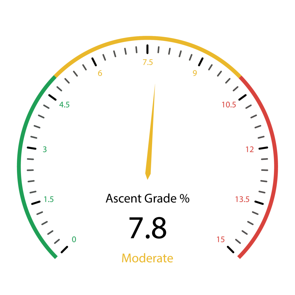
918 total elevation gain
From downtown Ketchum, it is an easy 7.6-mile drive all on paved roads. Click here for directions. There is parking for only about 6-8 cars, so get your hike started early. If you are meeting someone at the trailhead, park one car behind the other to make room for additional vehicles. The lot borders a residential neighborhood, so heed the signs that ask you to be respectful by keeping noise down at the trailhead and ensuring your dogs are not entering the yards.
There are no bathrooms at the trailhead.
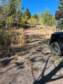
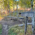
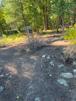
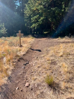
The trail starts with a very short climb to a signed junction marking the start of Chocolate Gulch loop. We recommend turning right and doing the trail in the counterclockwise direction.
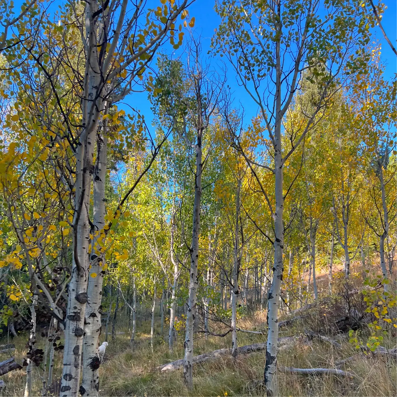
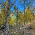
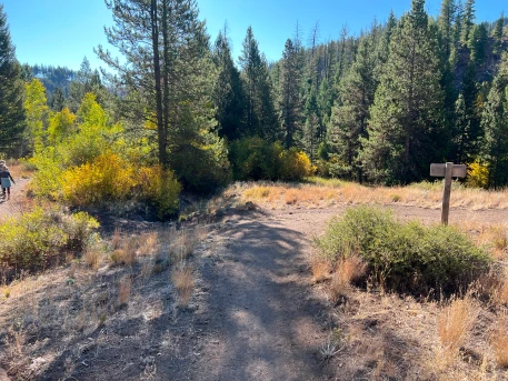
The trail takes you through alternating patches of aspen groves and open areas. Just before the half mile mark, you will come to a signed junction for the Saddle Trail. Stay left.
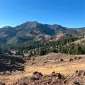
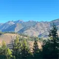
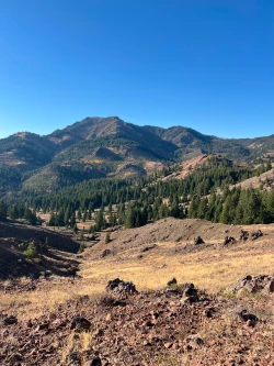
Just after the junction, you enter thicker aspen groves and then into a nicely shaded pine forest. During wet seasons you will have to watch your footing as you cross a series of small streams between the half mile and .75-mile mark. At the mile mark, the trail steepens slightly as it winds along a hillside on the way to its summit. As you climb, there are stunning views of the wild Boulder Mountains to your left.
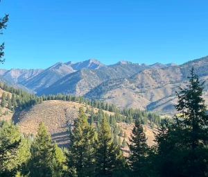
At the 1.45-mile mark you will leave the trees and come to a false summit. Another quick climb takes you to the true summit at 1.6 miles. You will have climbed about 655 feet. Ahead of you are nice views of the Smoky Mountains.
At the 1.8-mile mark, the descent intensifies as you scramble over rocky intrusions. Much of the descent is in the open sun, though a few pine groves offer shade along the way. At 2.45 miles, you will come to s signed junction with the Oregon-Fox Connector. Stay left and shortly afterwards enter the woods for a short stretch.
At 2.75 miles, come to another junction, this time with the Fox Creek Trail. Turn left.
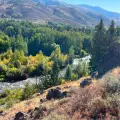
At this point, many dogs will find muddy water to the right of the trail. The stream gets wider and cleaner as you continue along and there is a very nice watering hole at the 3-mile mark.
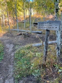
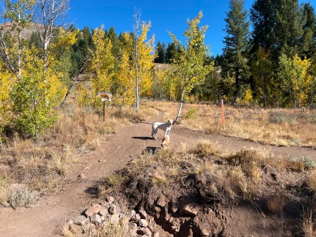
At 3.3 miles, you will come to Chocolate Gulch’s junction with the North Fork Trail. Stay left to get onto North Fork.
Begin another ascent, climbing about 150 feet over a quarter mile. The trail flattens out around 3.6 miles as you enter another small patch of pine trees. The trail cuts along a ridge halfway between the peak and the river below. The trail then rolls along, mainly descending, as you pass through the woods and some open areas. At 4 miles you will cross a bridge over a stream and shortly afterwards enter an open field strewn with boulders. As you continue, excellent views of the Big Wood River open to your right. At 4.25 miles, a signed junction marks where North Fork reconnects with Chocolate Gulch.
From here, it is a short walk back to the first junction and then down to the trailhead.
Hike Categories
Distance: 4 to 8
Difficulty: Easy
Drive: Easy
Scenery: Nice
Shade: Shady
Solitude: Moderate
Experience: Classics
Feature: Fall Foliage,Wildflowers
Locations: Ketchum/SV,Smokys