Adam’s Gulch
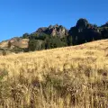
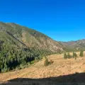
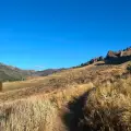
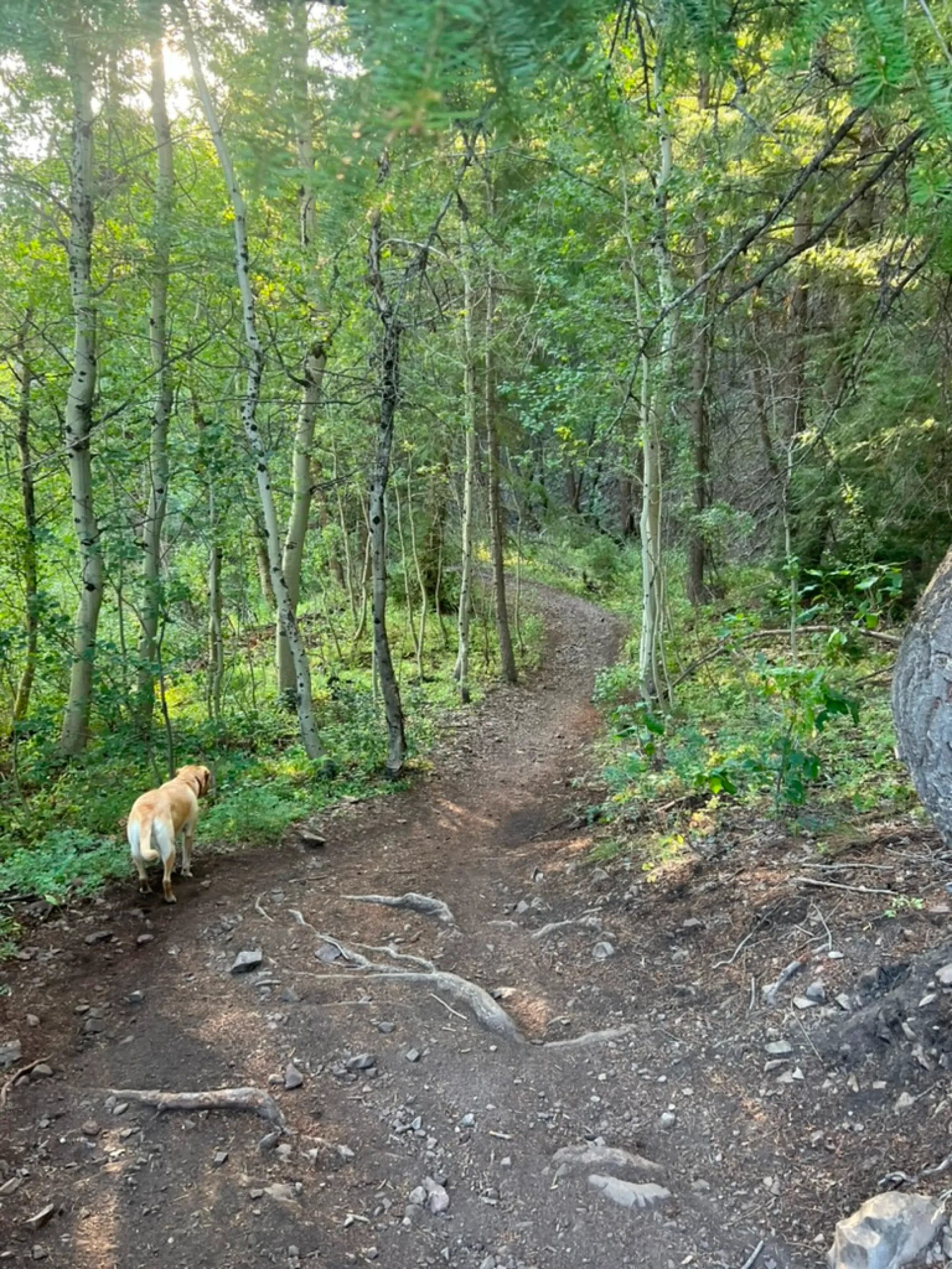
One of the most popular hikes among tourists and locals alike, this 4-mile loop through a small valley near the heart of town features striking views, varied terrain and just enough elevation gain to get the heart pumping.
Hit this trail early to avoid the height of the crowds. By 9:00 am, cars filled with hikers and mountain bikers will start piling into the lot. Still, its close proximity to town combined with its beauty and moderate degree of challenge make this hike is a great way to get in some decent exercise without burning half the day.


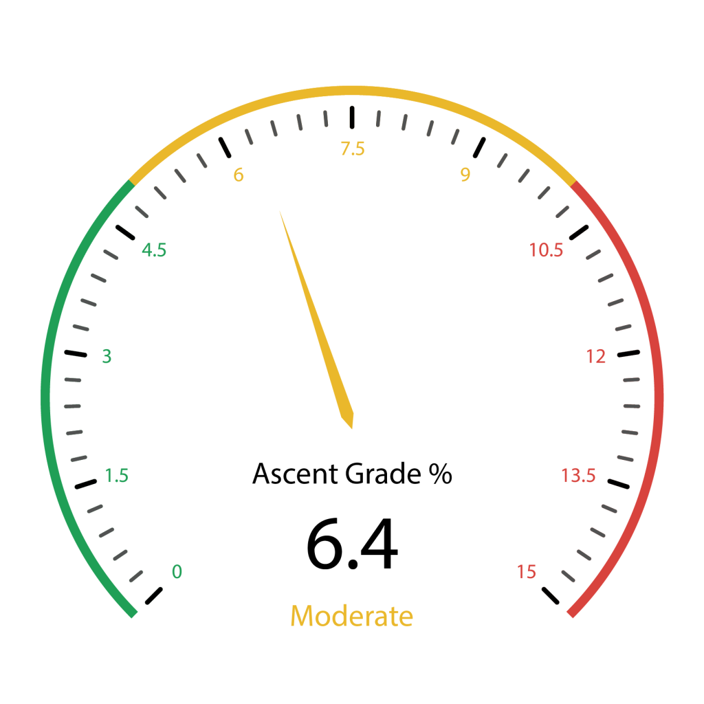
585 total elevation gain
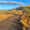
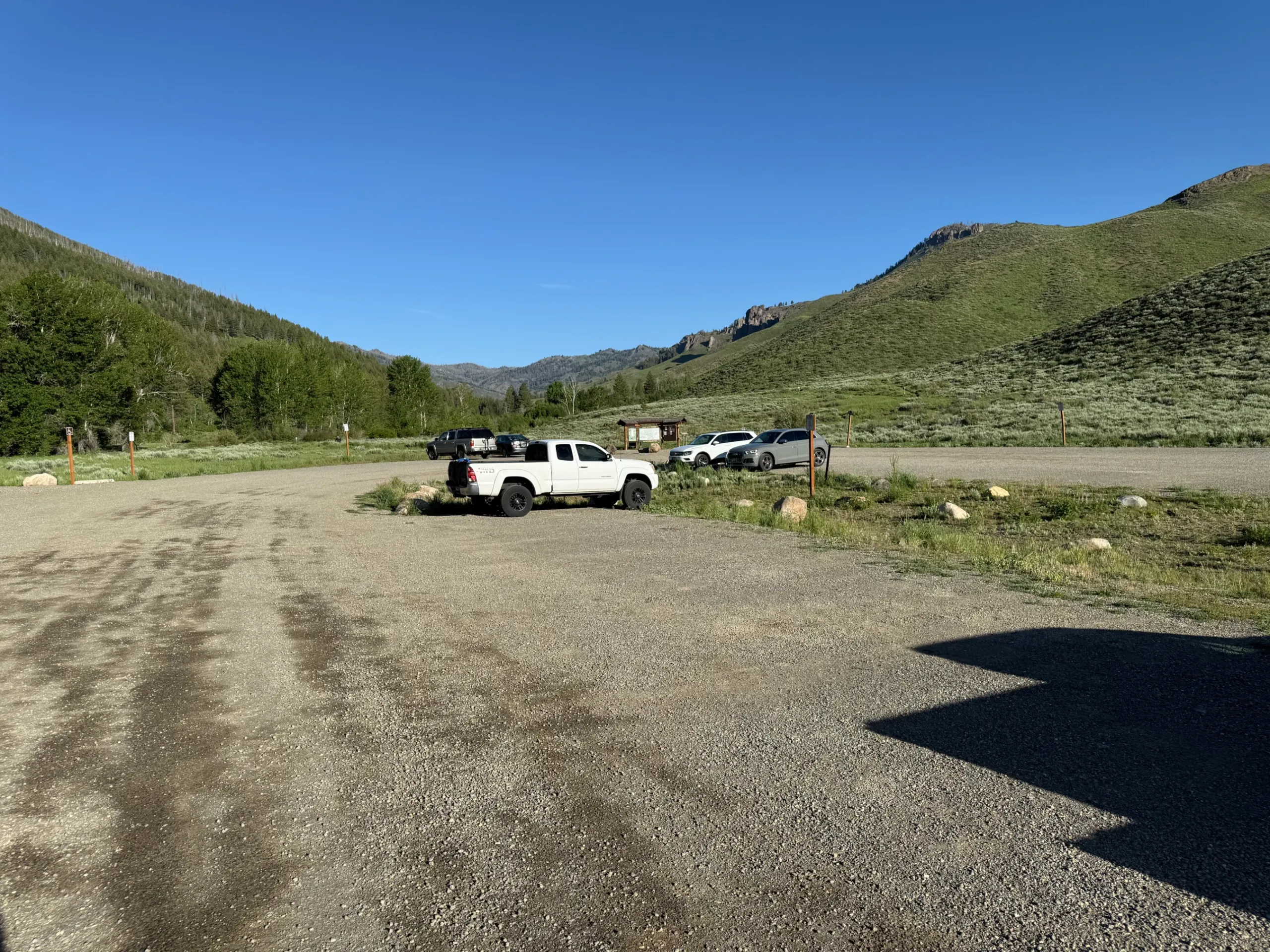
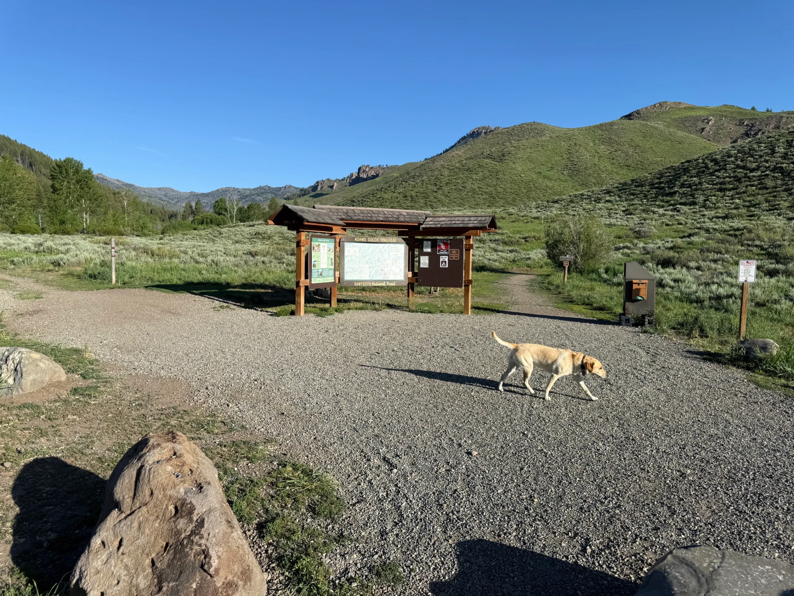
From downtown Ketchum, it is an easy 2.7-mile drive with all but .2 miles being on paved roads. Click here for directions to the trailhead. There is plenty of parking, but spots can get scarce by mid-morning on summer weekends.
There are bathroom facilities at the trailhead.
The trail continues to wind through similar terrain. Just before .8 miles stay right at another signed junction.
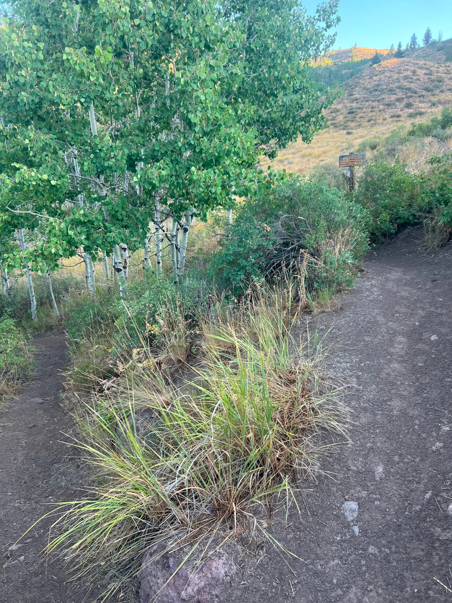
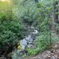
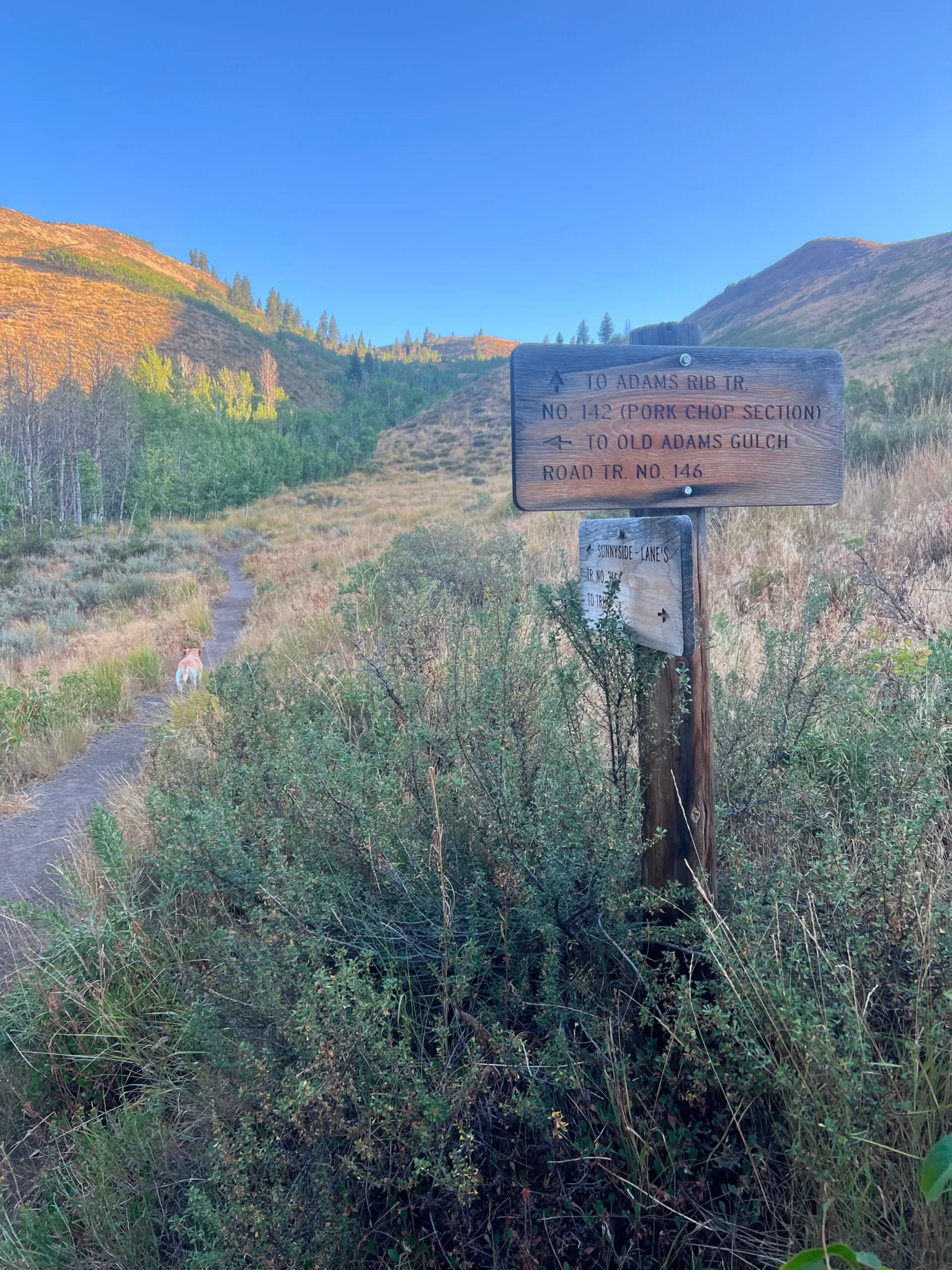
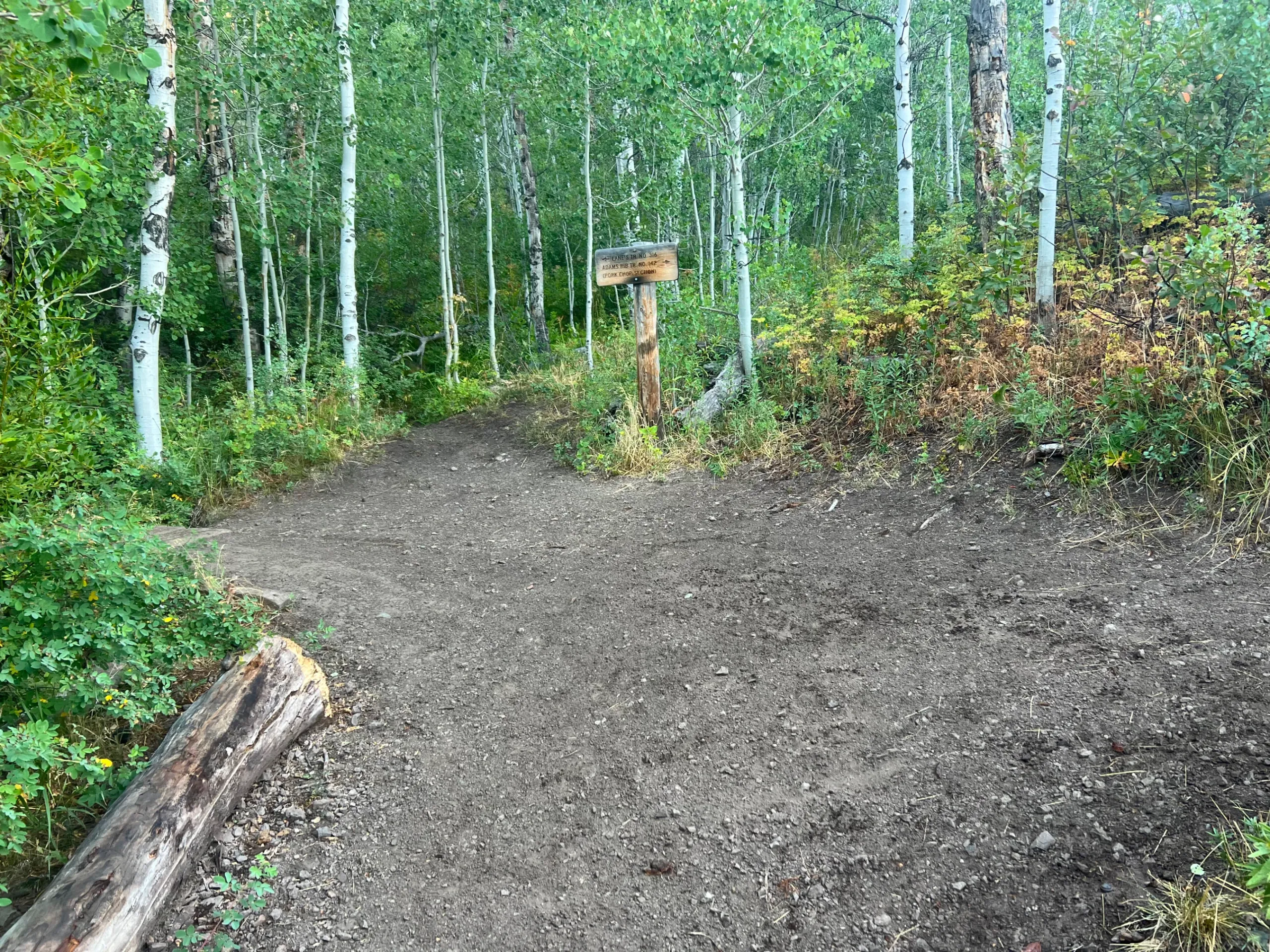
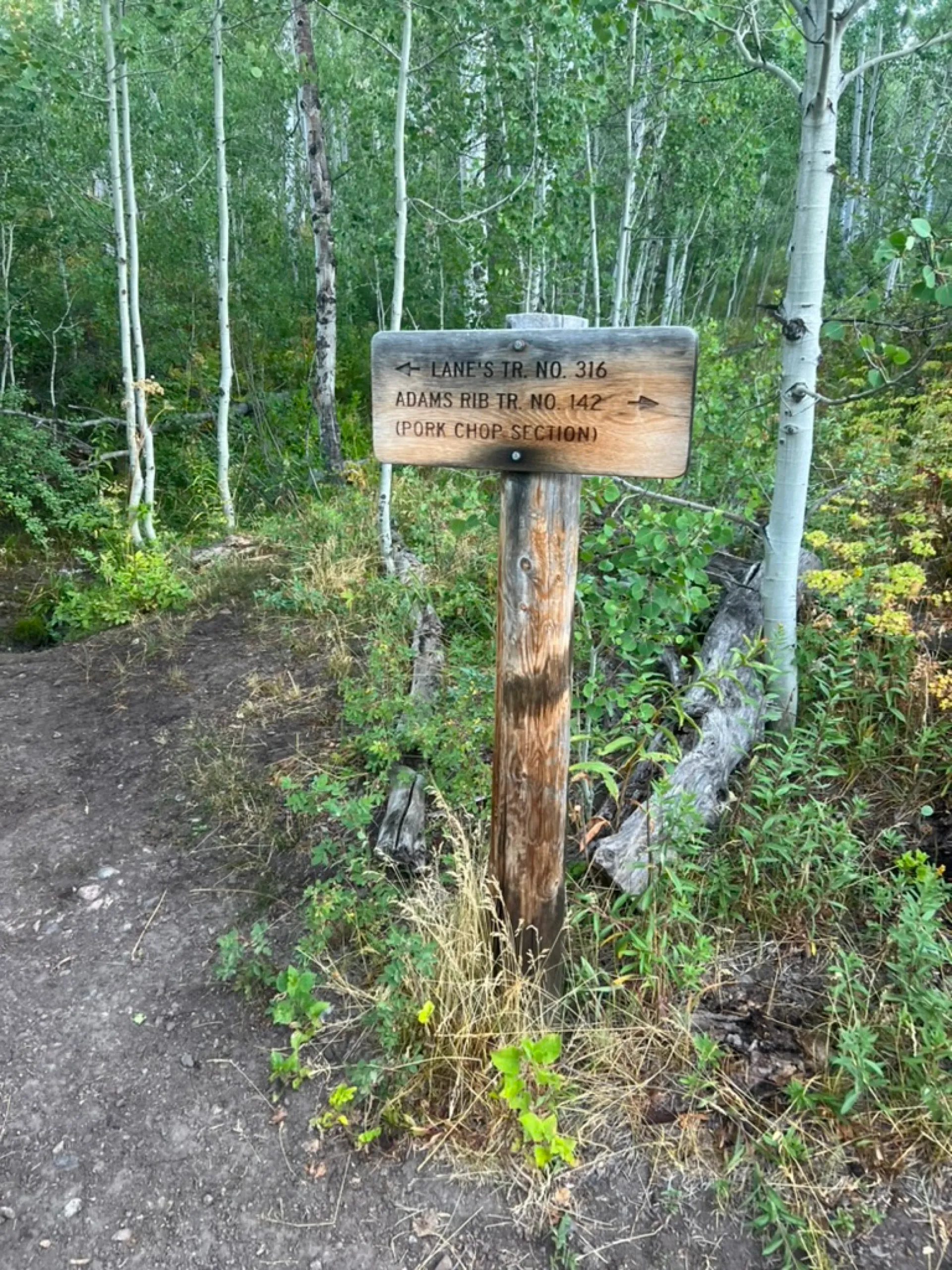
Quickly come to a third signed key junction just before .9 miles. The path to the right (“Porkchop”) is a tough climb that connects you to a series of fantastic trails to the north. Turn left across the bridge. During dry years, this crossing provides the only source of water for the first 2.2 miles of the hike.
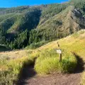
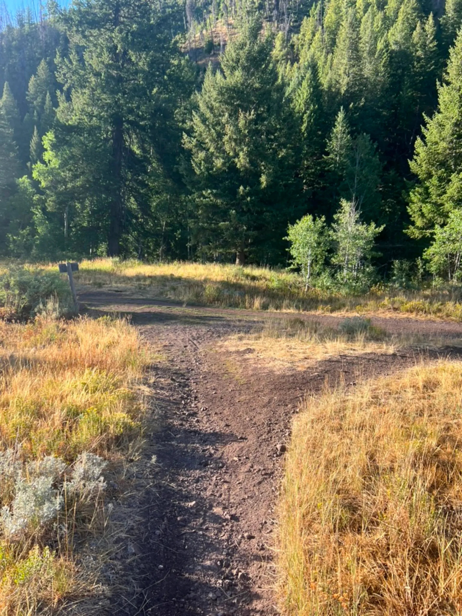
Enter onto an open hillside and the climb intensifies. As the trail winds along, beautiful views open to the north and there are over-the-shoulder views back towards Ketchum.
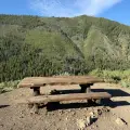
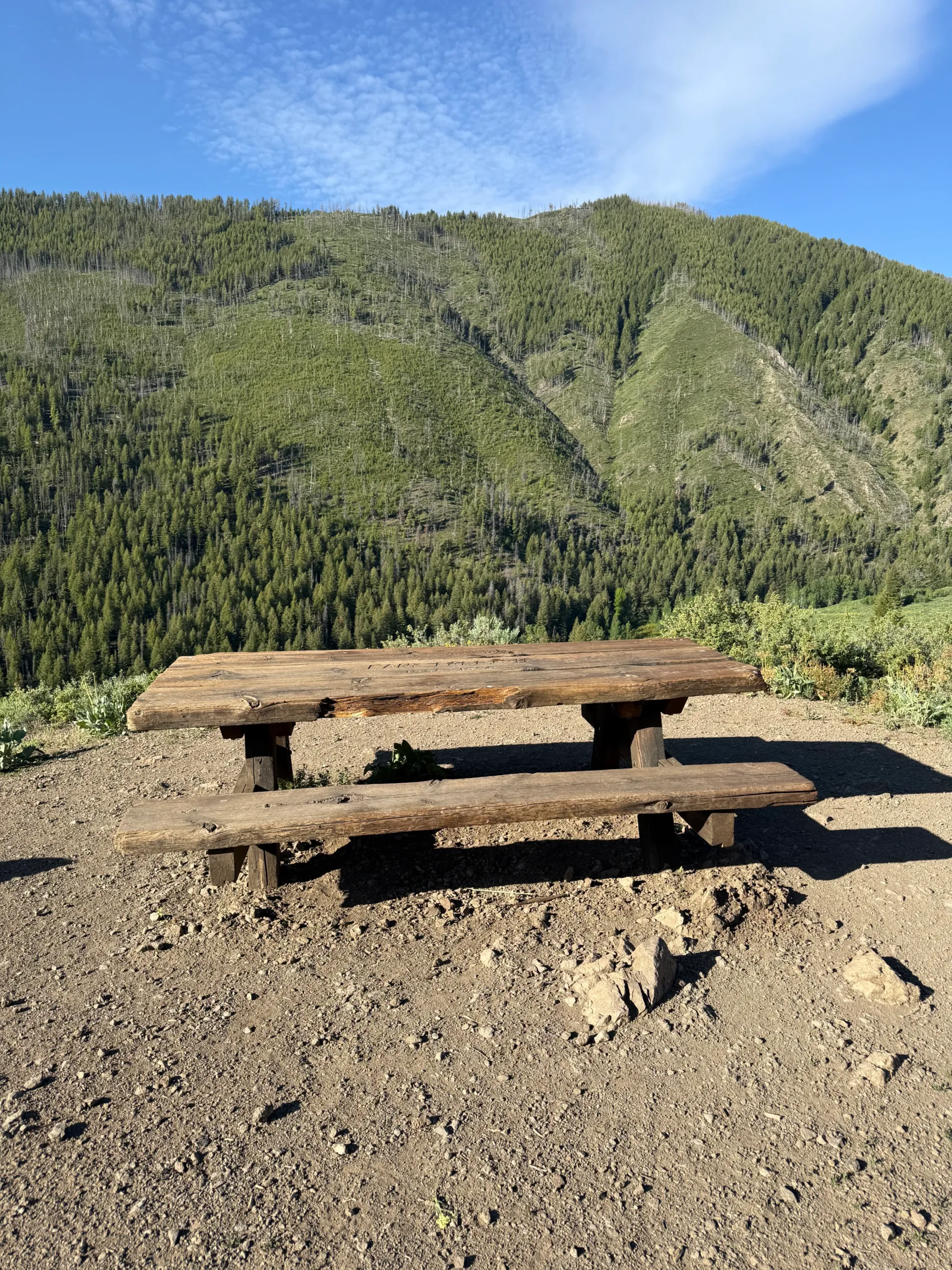
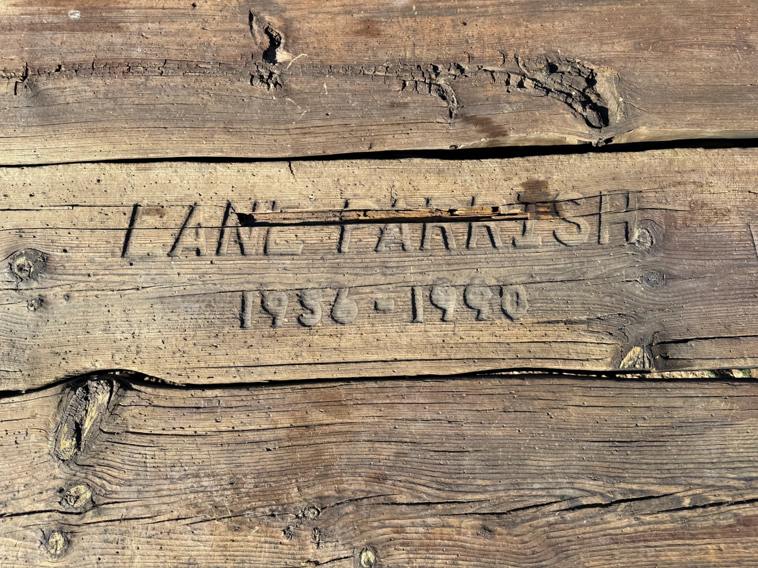
At 1.4 miles, you will reach the apex of the hike. Take a second to visit the picnic table on top of the hill. It was placed there to honor local skiing legend Lane Parrish who died in a plane crash in 1990.
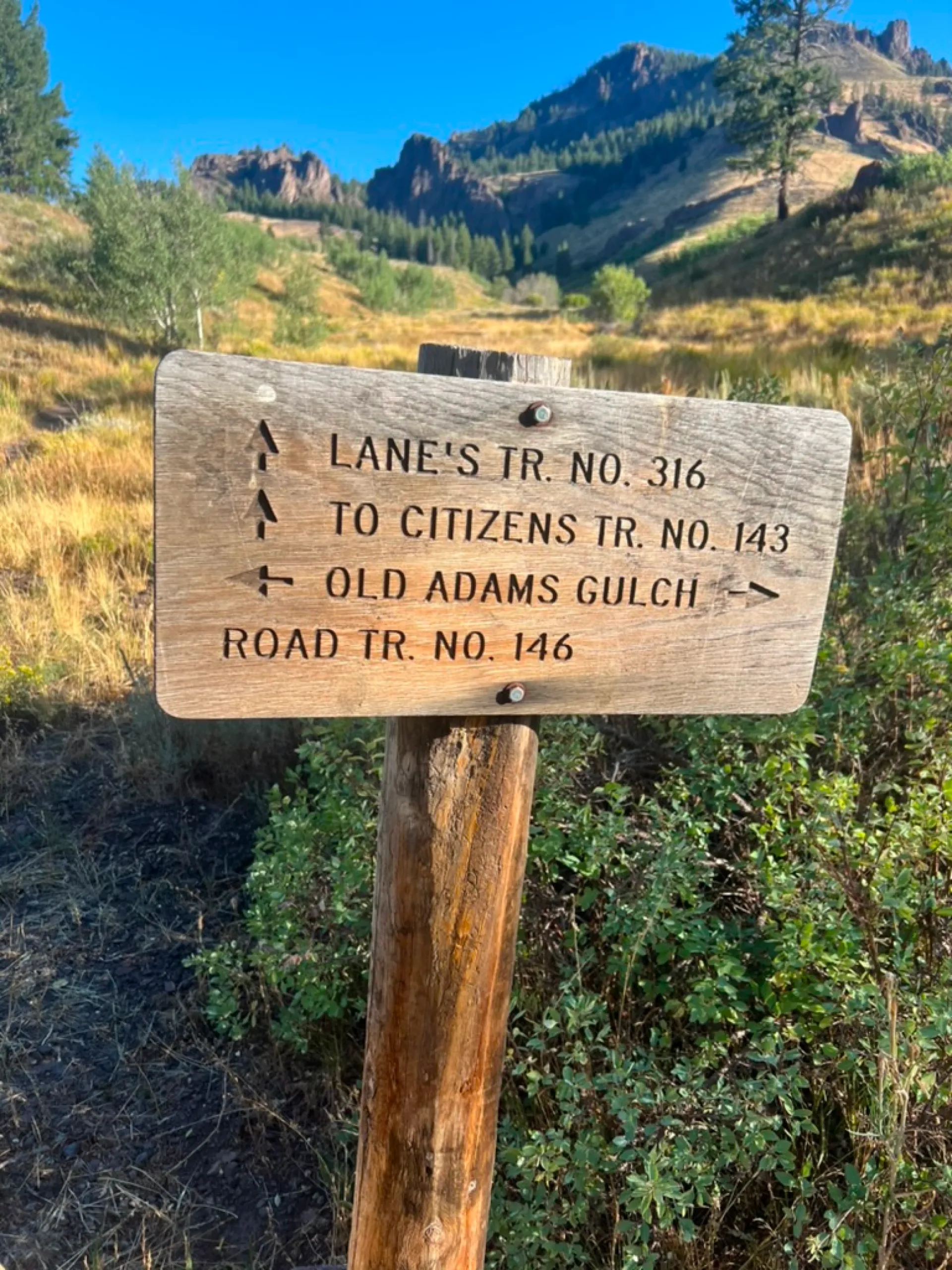
Head back to the trail and turn left to begin the descent to the valley floor. Just before the 2-mile mark you pass the fourth signed key junction. Stay left.
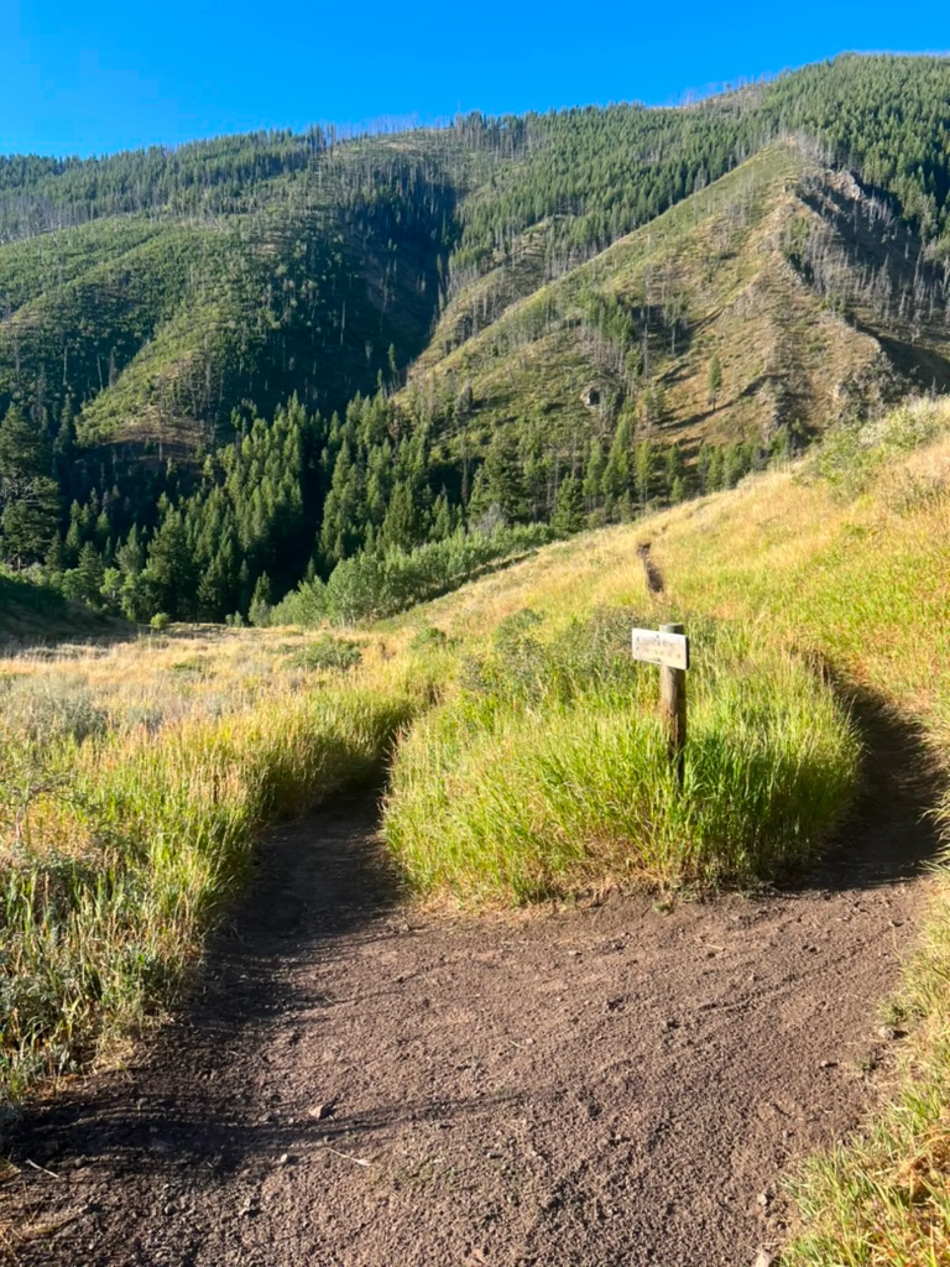
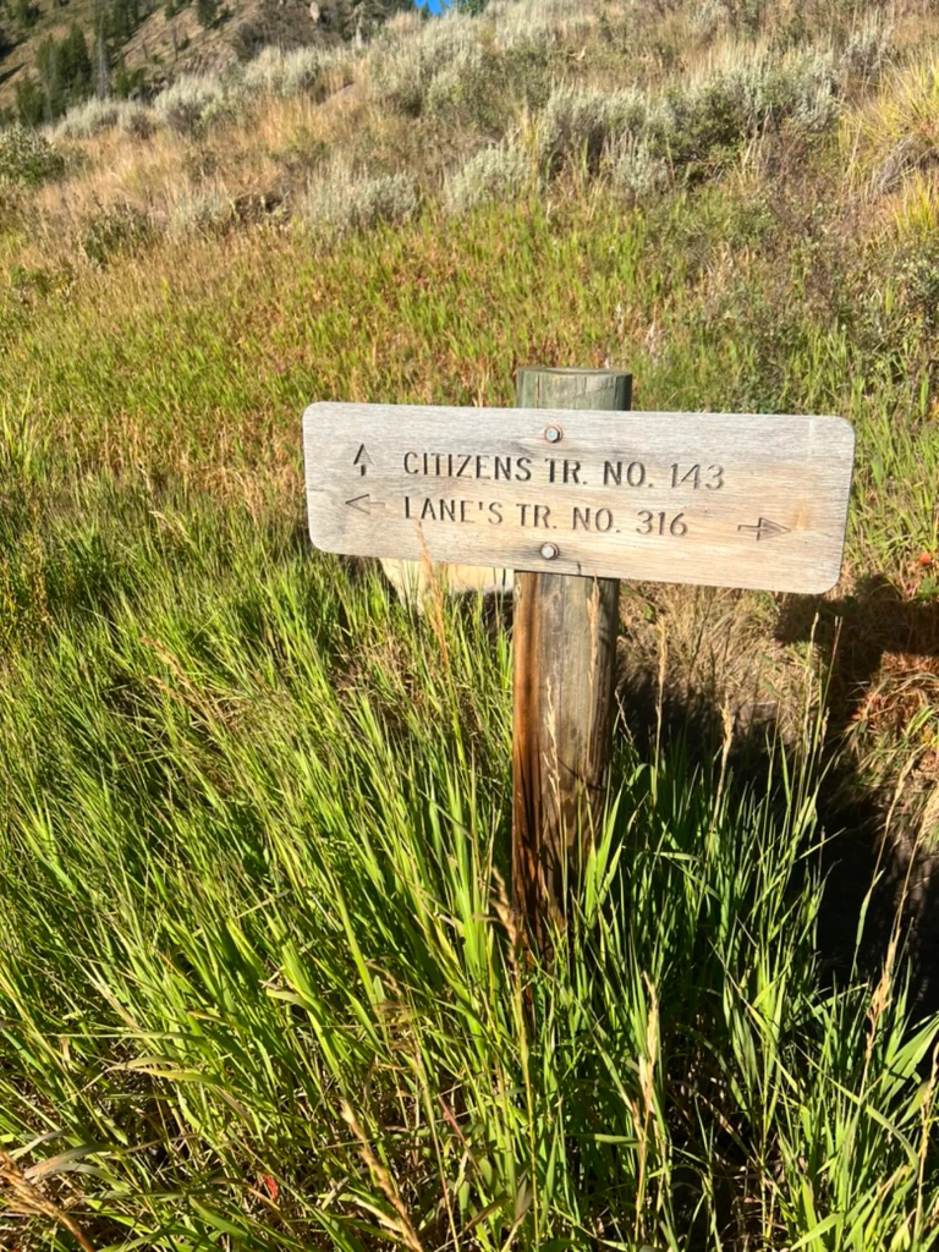
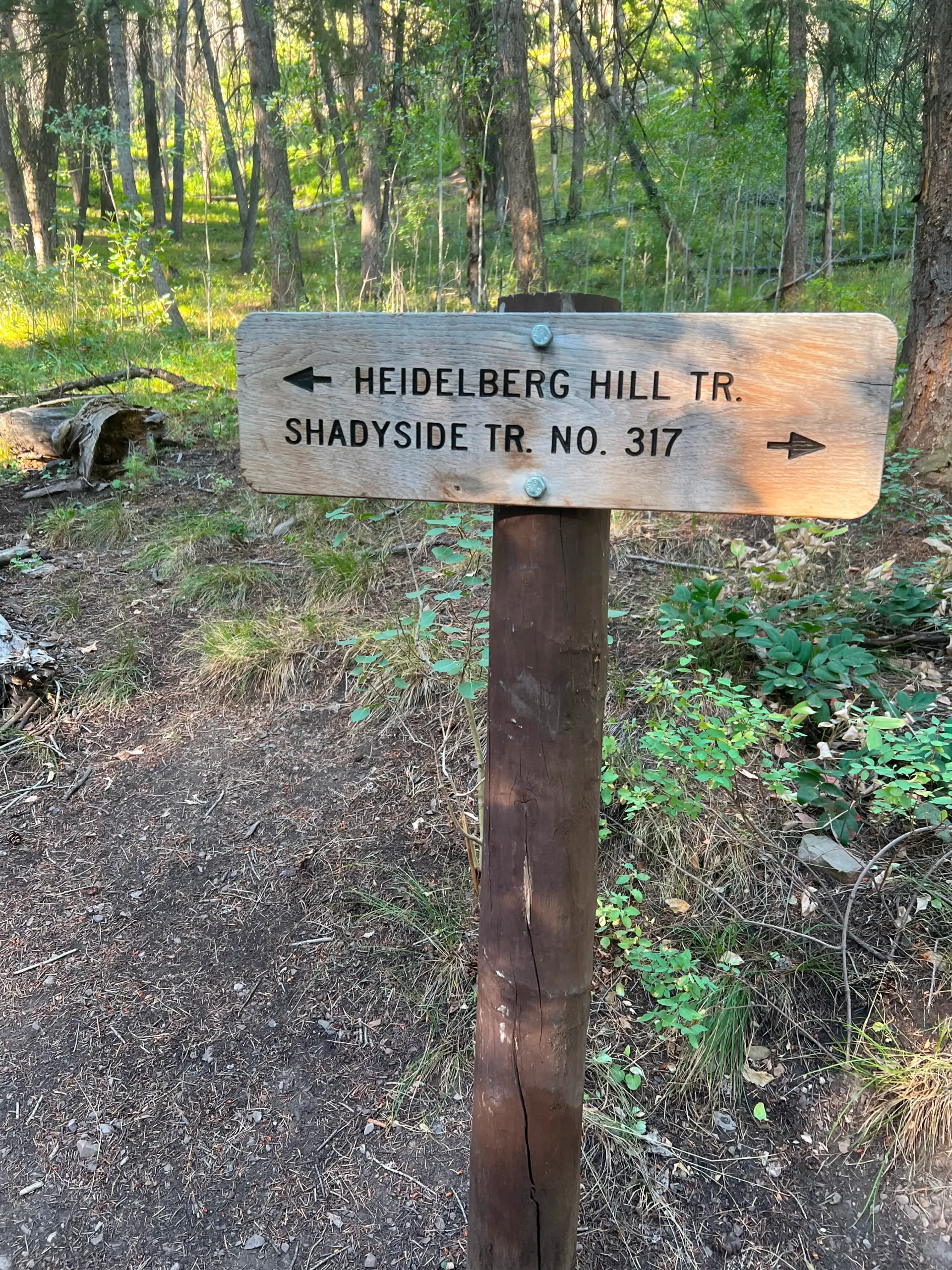
Continue down the hill and come to another signed key junction at 2.15 miles. Most hikers will turn left here and follow Old Adam’s Road, but those in the know turn right to the far more beautiful Shadyside Trail.
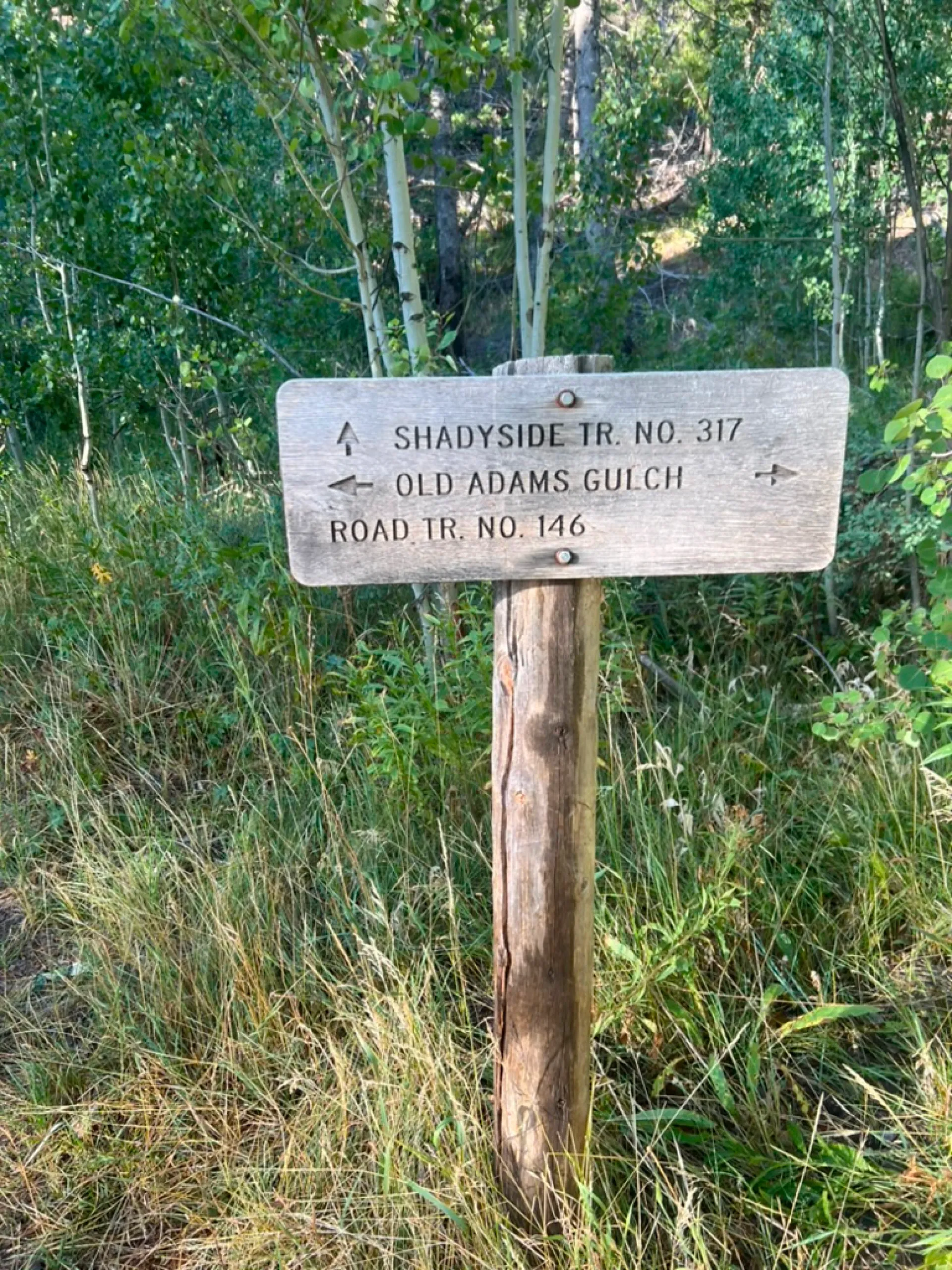
Follow the path over a small bridge spanning a stream that often holds water. Straight ahead at 2.2 miles will be the sixth key junction. Veer left onto Shadyside Trail.
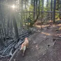
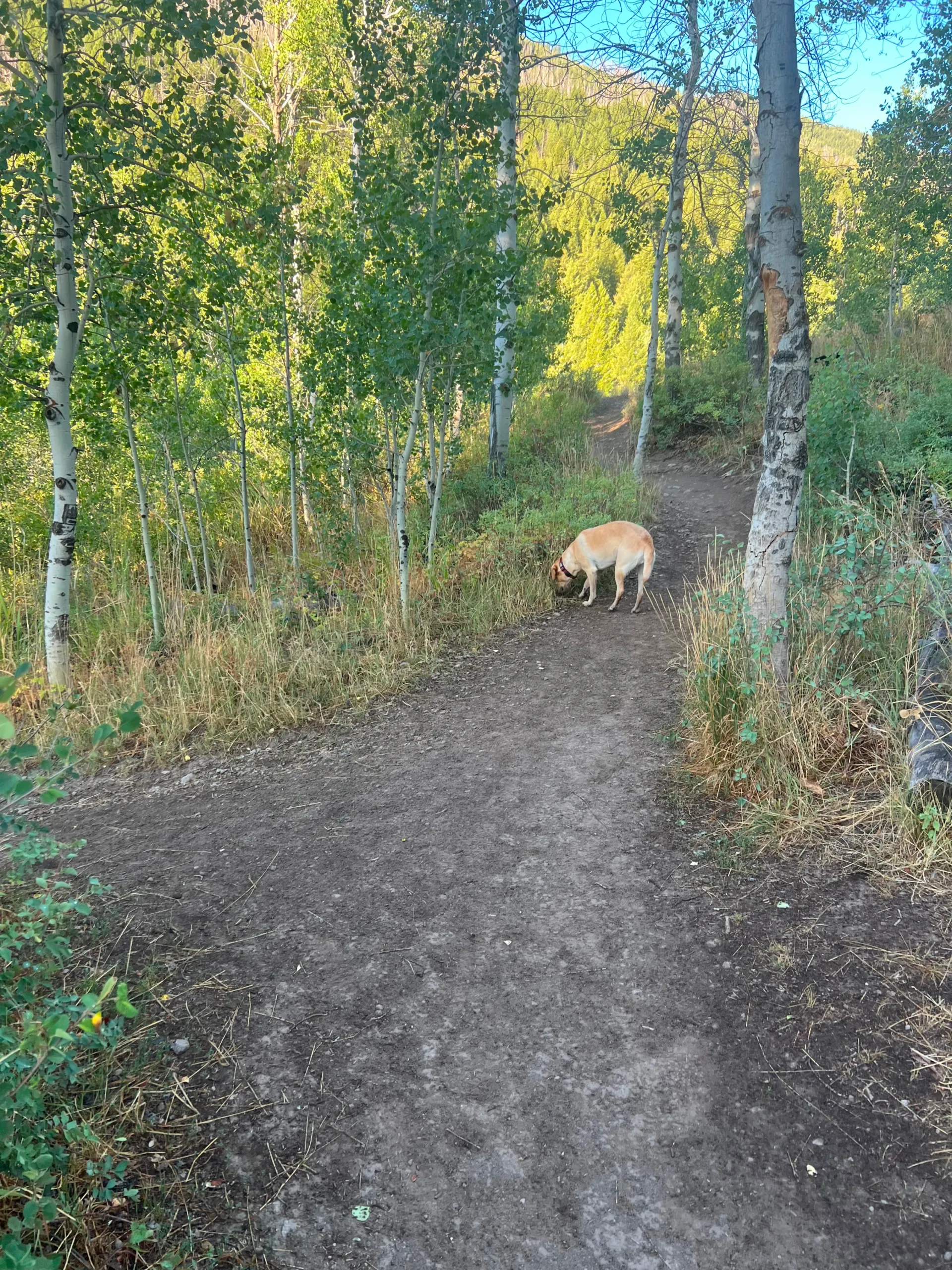
Here starts a 1.7 mile stretch that rolls through the shade of thicker forest. This is a popular mountain biking trail, so it pays be aware and take care at blind curves. Still, the setting more than makes up for the slight inconvenience of sharing the trail. As you continue along the path you will pass a couple junctions to the left that lead to Old Adams Road. Ignore those and stay right.
At 3.6 miles you will come to the seventh and final key junction. To the right is Heidelberg Hill, a short but steep climb that eventually connects you to a descent into Ketchum’s Warm Springs neighborhood. Turn left and head down the hill.
You will soon pass another minor junction to your left but stay right. The trail follows the riverbed, which usually dries up by July, and you will reach the parking lot at 3.9 miles.
Hike Categories
Distance: 0 to 4 miles
Difficulty: Easy
Drive: Easy
Scenery: Nice
Shade: Moderate
Solitude: Busy
Experience: Classics
Feature: Fall Foliage,Snowshoe
Locations: Ketchum/SV